VIRTUE
 VIRTUE Mission: Zusammenführung geo- und informationswissenschaftlicher
Methoden
Project title:
Virtuelles Untertagelabor: Entwicklung eines Instrumentariums für die Integration von Struktur-, Experiment- und Modelldaten in einem einheitlichen datentechnischen und räumlichen Kontext unter Nutzung von Methoden der Virtuellen Realitäten und der künstlichen Intelligenz
Virtual Underground Research Lab: Integration of structural, experimental and model data in a uniform data-technical and spatial context using methods of virtual reality and artificial intelligence
Project description:
The search for and choice of a suitable site for the deposit of highly radioactive materials within geological formations under the safest possible conditions is one of the most important challenges today.
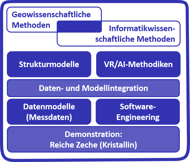
The goal of the VIRTUE-project is to develop basic methods to provide optimal support for the siting- and planning processes for repositories from a digital perspective. To handle the large and heterogeneous collections of data related to these processes, it is necessary to develop a suitable data concept which allows to explore datasets and predictive numerical models within a visual 3D context. Therefore, the goal of the project is to develop and validate a collection of digital implements for integrated data management and the planning of underground laboratories using virtual reality and artificial intelligence. As a case study for developing these methods, we use the research and training mine "Reiche Zeche" in Saxony, Germany, which is located within a crystalline rock formation. Within the project, a visual information system for underground research laboratories will be implemented, that can later be adapted to support the actual siting process, where crystalline rock is one of three potential host rock types for a future repository for highly radioactive waste.
Virtual reality is particularly suited to visualise the extensive, heterogenous types of information in a unified geographic context. Methods of artificial intelligence will be used for pattern recognition and the extraction of structural information. The visual information system will be expanded over time and focus on both experts and lay people such as the general public, civil services, and stakeholders.
Besides the project management, the OGS Team will focus on work packages dealing with data- and model integration (WP2) as well as software engineering (WP4), while the team from University of Leipzig will develop methods for VR and AI (WP3) and the team from TUBAF will handle geomonitoring (WP1) and field applications (WP5).
