Research Software Engineering and Visualization
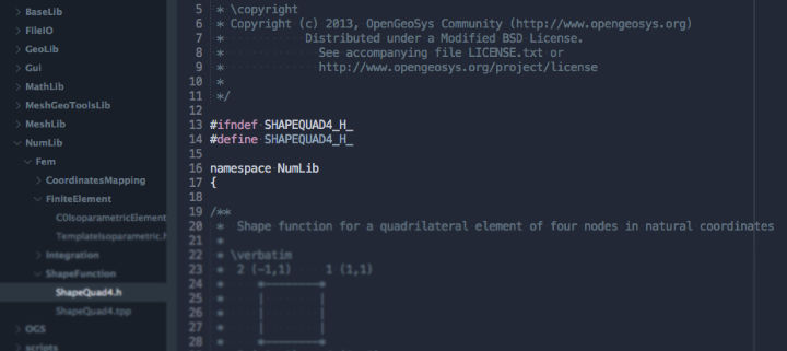
Research projects in the field of numerical modeling and simulation rely on complex software frameworks and workflows. To advance existing methods it is necessary to efficiently implement new algorithms and not be dependent on existing, closed-source software. We develop the OpenGeoSys software framework for coupled simulation of THMC processes employing established concepts of software engineering. The resulting software needs to be robust, fast and based on a modular design to be easily extendable. This allows maximum flexibility when developing new algorithms and concepts in the scope of challenging research questions.
For the validation and analysis of complex simulation results in the context of measured data sets, methods for the visualization of environmental data are being developed and applied to case studies. This improves the understanding of results for scientists, simplifies discussions and helps to convey research results to guests and stakeholders. Visualization Center
It is our mission to provide robust and efficient modelling and simulation frameworks with verified behaviour to help scientists in reproduction of complex environmental phenomena with the goal to induce knowledge or even predict system behaviour.
Continuous development of a common code base is often neglected due to time constraints of scientific projects resulting in multiple non-published and non-reusable forks of a software project. Concepts and methodologies from professional software development and computer science are required to handle these issues. We aim for a streamlined software development workflow taking the burden of individual scientists by automating repetitive tasks and providing easy software extensions points by an advanced software design. We believe in open-source software and our development process is completely transparent including peer-reviewed code changes, extensive testing and community-driven feature implementation.
We develop modular and highly flexible numerical software: independent parts of the code which focus on a specific tasks exchange information with other parts in well-defined interfaces only, thus leading to an easily extendible and testable software system. Efficient data structures and parallelised computations allow for simulation of complex phenomena on modern high-performance computing infrastructures. A comprehensive documentation including developer and user guides, code documentation and a tutorial book series gives people access to the OpenGeoSys simulation framework.
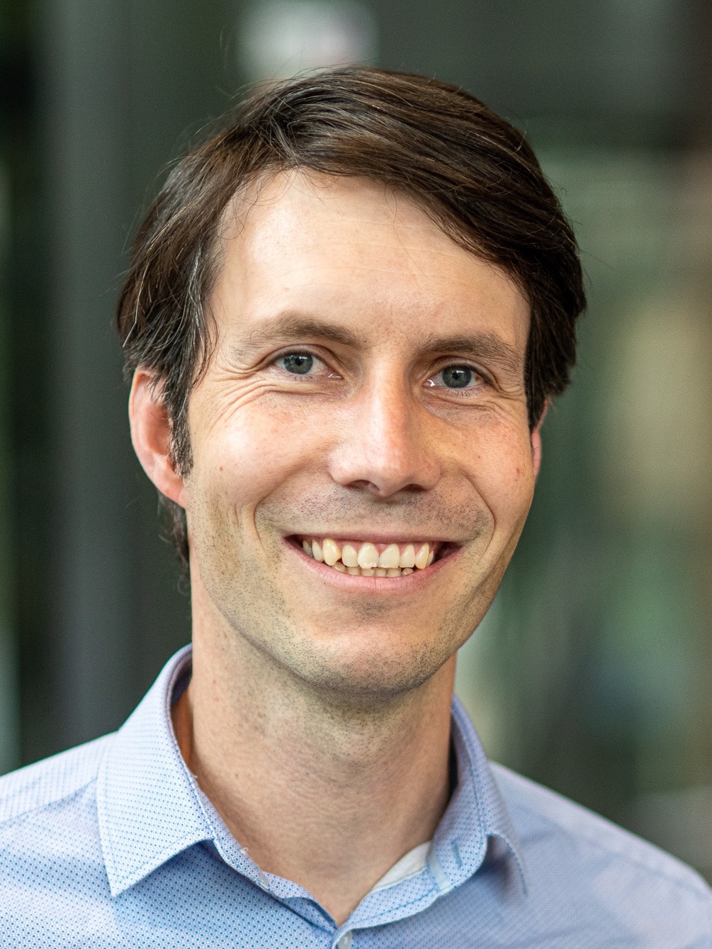 Lars Bilke
Lars Bilke has been a staff member of the Department of Environmental Informatics since 2008. He studied Media Informatics focussing on computer graphics, visualization and software development at the Leipzig University of Applied Sciences, Germany from 2003 to 2009 and started as an intern at the UFZ in 2007. He is head of the Visualization Center of the UFZ since 2013 where his research interests are related to scientific 3D visualization and virtual reality systems and interaction techniques. As the contact person for the Visualization Center he is involved in multiple research projects helping scientists to benefit from applied visualization techniques to foster a better understanding of scientific questions. As part of the OpenGeoSys developer team he focusses on software and build engineering for multi-platform open-source software systems.
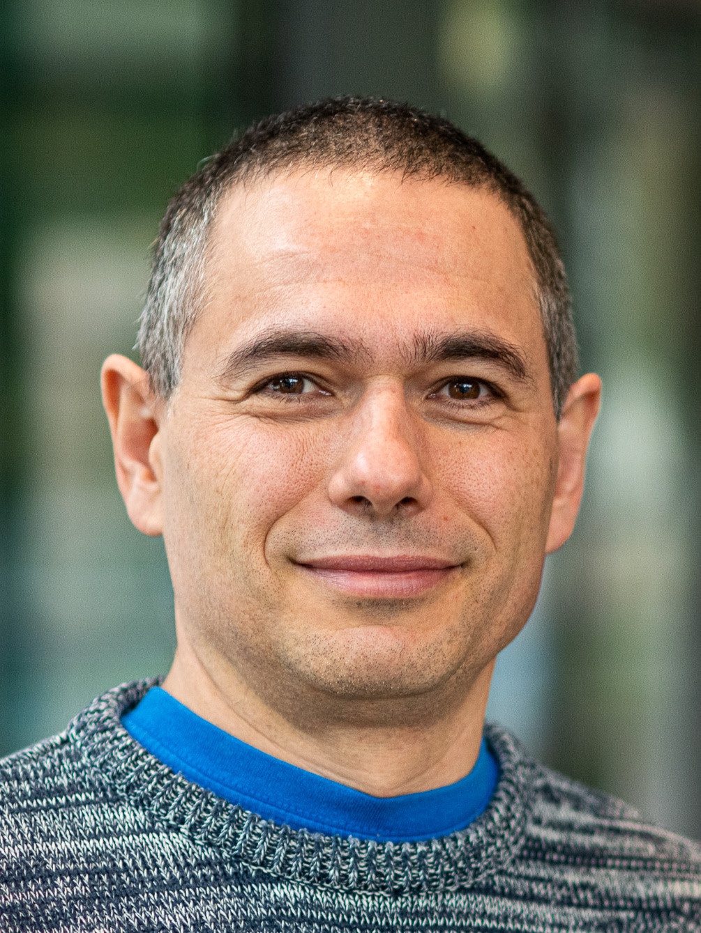 Dr. Thomas Fischer
Dr. Thomas Fischer has been working as a scientific software developer at the Department of Environmental Informatics since 2010. He studied computer science from 1997-2003 at the Friedrich Schiller University Jena. He has been working as a software developer from 2003-2005 in several projects. In 2005 he joined the group of numerical mathematics at the University of Leipzig and worked on preconditioning methods for large sparse systems of linear equations. He received his Phd for developing a purely algebraic based preconditioner. His research interest are related to robust numerical software and efficient software in general.
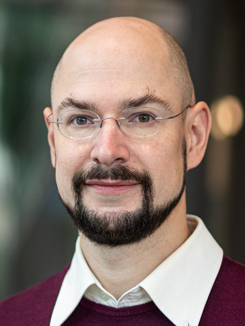 Dr. Dmitri Naumov
Dmitri Naumov joined the Department of Environmental Informatics in 2011 as a PhD student. After finishing his thesis on computational fluid dynamics in unconsolidated sediments he focused on development of the OpenGeoSys FEM software.
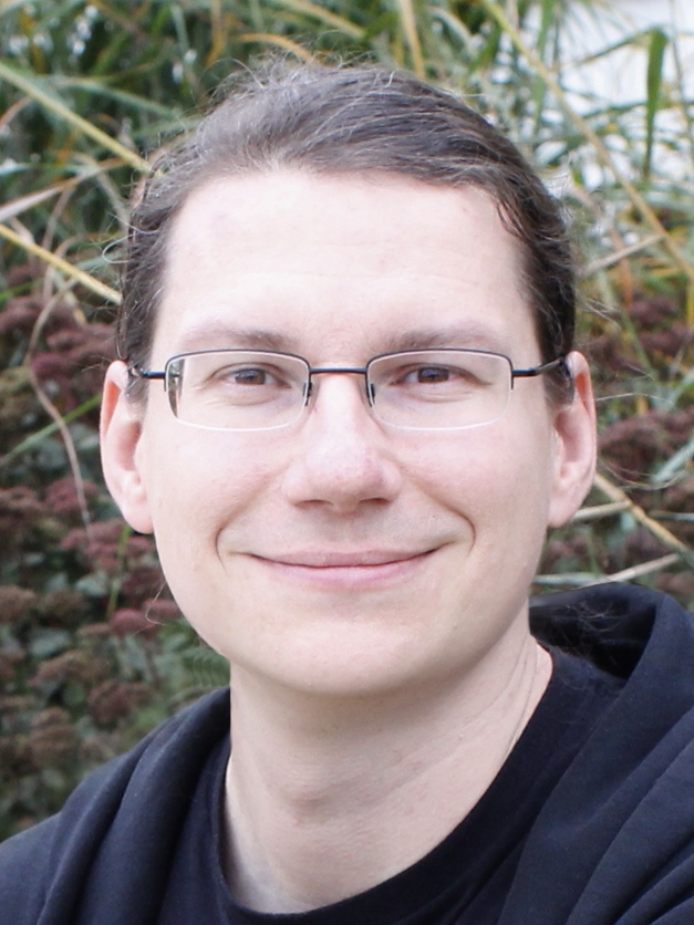 Dr. Karsten Rink
Karsten Rink studied Computer Science at the University of Leipzig, Germany. From 2003 to 2009 he worked as a research assistant at the University of Magdeburg, Germany, in the fields of image analysis and computer vision. He received his PhD in Visual Computing on the topic of improvements on implicit active contour methods for image segmentation. Since 2009 Karsten Rink is working as a postdoctoral fellow at the Helmholtz-Centre for Environmental Research. His research interests include the integration, verification and visualisation of geoscientific data and he is a co-organiser of the annual EuroVis workshop on “Visualization in Environmental Sciences”. He is also a software engineer for the OpenGeoSys Data Explorer and the OpenGeoSys simulation software.
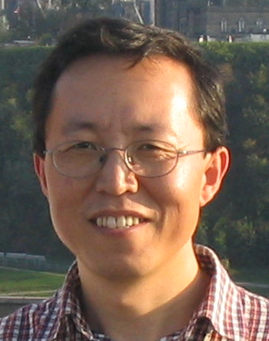 Dr. Wenqing Wang
Wenqing Wang received a PhD in computational mechanics from Tongji University, Shanghai, China, 1997. During his PhD, he studied in Shinshu University, Shinshu, Japan for one year supported by an international student exchange program. He became a staff scientist at Helmholtz Centre for Environmental Research - UFZ in 2007 (tenured in 2008).
He has been an active member of several projects such as DECOVALEX, CO2MAMN, IWAS and the Wadi Kafrein catchment/Jordan focusing on numerical modelling of the safety assessment of nuclear waster repository, CO2 storage, catchment subsurface flow, respectively. He is also a core developer of OpenGeoSys, and he was awarded the OpenGeoSys Senior Scientist Award in 2014. His research interests include numerical modelling of thermo-hydro-mechanical processes in the porous media, its methods and its applications for environmental and geotechnique problems, parallel computing, and scientific software. For a list of scientific papers in peer reviewed journals see his Research ID or his Research Gate page.
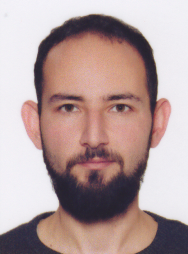 Özgür Ozan Şen
Özgür Ozan Şen graduated from Computer Engineering at Cankaya University in Ankara, Turkey as a Bachelor in 2011. He granted his Master’s degree in 2015 from Computer Animation and Game Technologies MSc program of Hacettepe University. Meanwhile, he worked as a software developer at different software companies in Ankara. He had been a research assistant in the Computer Engineering departmant at the University of Turkish Aeronautical Association before he started at the UFZ in 2020. His MSc thesis in game technologies was on the topic of "Promotion Video Construction Of A Game Developed Using Unity 3D Game Engine". Now, he is working as a scientist at the department of Environmental Informatics. His research interests are game technologies, virtual reality, data visualization and computer graphics.
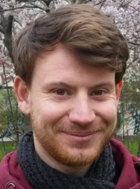 Nico Graebling
Nico Graebling studied Computer Science at the University of Leipzig. He graduated as Master of Science in 2018. The focus of his academic studies has been visualisation and computer graphics. Working in the Image and Signal Processing Group of Leipzig University as a research assistant Nico Graebling specialised in Augmented and Virtual Reality systems. He started in 2021 at the UFZ in the Department of Environmental Informatics as a research assistant. There, Nico Graebling develops interactive 3D visualisations in Unity for example for the Mont Terri project. His current research interests are interaction design and visualisations in Virtual Reality for the geoscientific domain.
