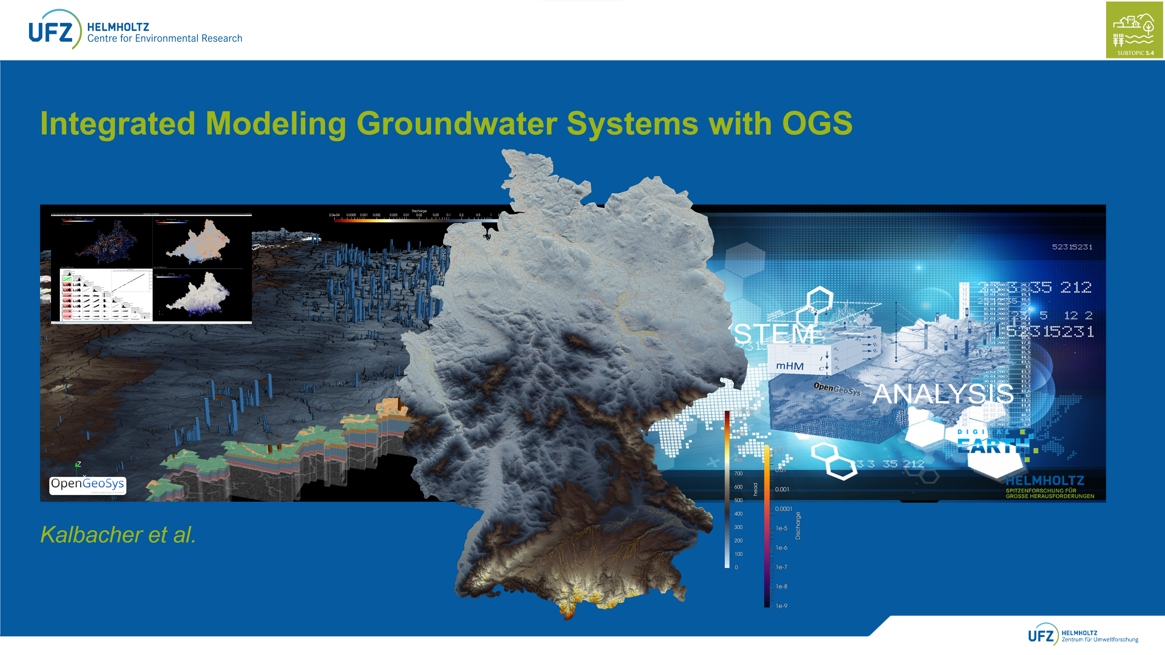
OGS-GIScape: Dynamic Groundwater Modeling within the LandTrans Initiative
1. Project Overview
OGS-GIScape is a scientific modeling framework currently under development for analyzing large-scale groundwater processes. It is a research-oriented code that is being actively developed, with the long-term goal of enabling more differentiated and spatially explicit investigations into water availability, groundwater recharge, and the impacts of management strategies. While key conceptual and technical steps have already been implemented, we are still in the process of building a robust and widely applicable framework.
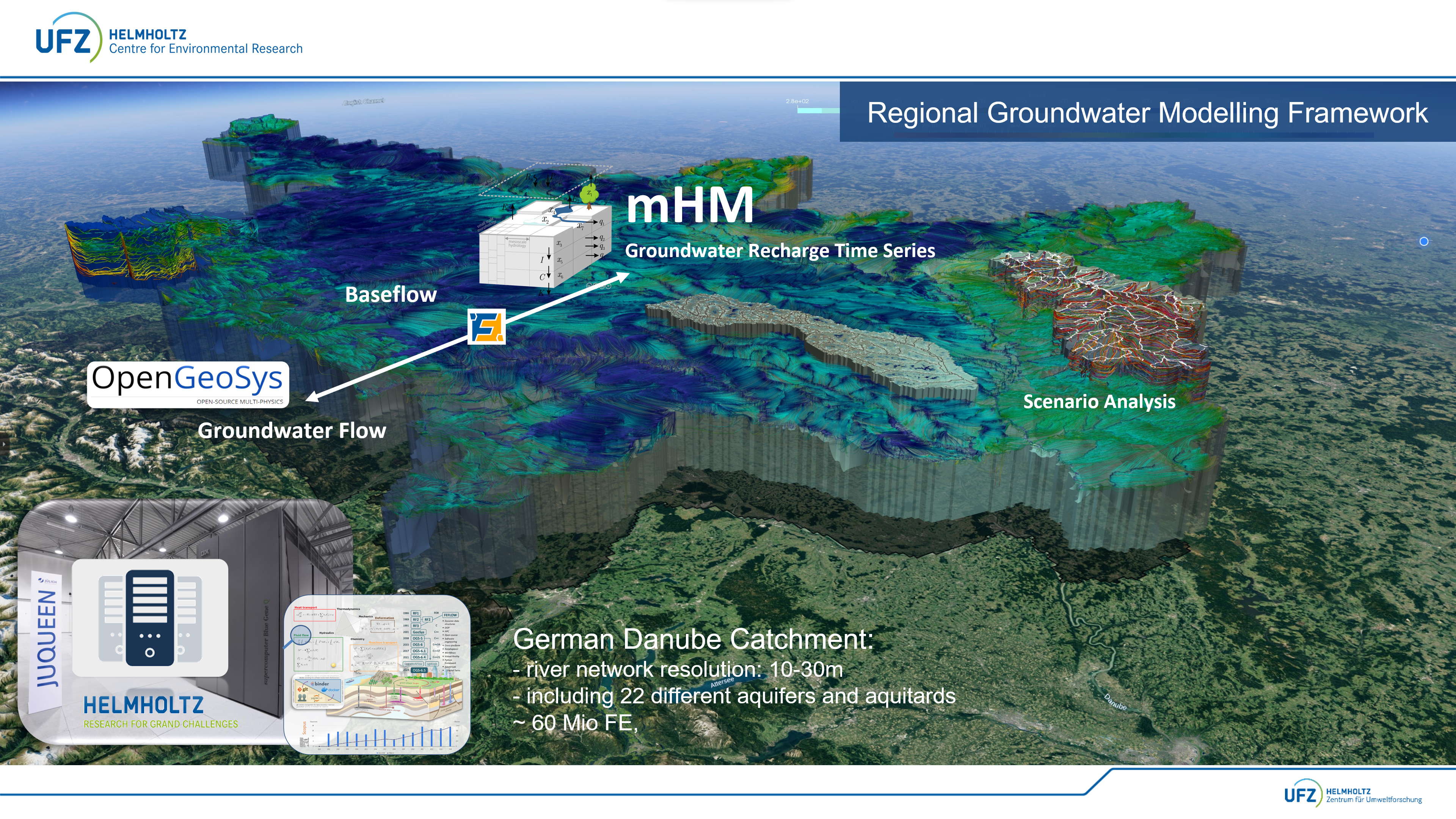
The aim is to consistently couple hydrological and hydrogeological processes and simulate them on both regional and national scales. We combine the open-source multiphysics simulation framework OpenGeoSys (OGS) with scalable hydrological input data—particularly from the mesoscale Hydrological Model (mHM).
The platform is designed as a scientific toolkit that allows for a more precise and spatially explicit investigation of existing research questions related to water availability, recharge, and management impacts.
2. Project Goals
- Development of a flexible, reproducible, and scalable modeling workflow for OGS-based groundwater simulations
- Coupling with high-resolution hydrological input data (e.g., mHM, land-use models)
- Simulation of long-term dynamic groundwater processes (e.g., under climate change or land use change)
- Application to large-scale model domains, up to full national simulations
The project is part of the LandTrans Initiative, which develops and integrates new methods for analyzing land use change, water availability, and water demand.

3. Scientific Background
Modeling large-scale groundwater processes requires the integration of diverse data sources, spatial resolutions, and process scales. OGS-GIScape addresses this challenge by:
* Integrating high-resolution NetCDF-based recharge data
* Considering hydrogeological heterogeneity (e.g., via geological layers and formations)
* Automatically generating simulation setups
* Enabling temporally resolved analysis of surface–subsurface exchange processes
Both steady-state and transient scenarios can be represented.
4. Example Applications
- Danube Basin (Southern Germany): dynamic groundwater simulation from 1956 to 2023 using mHM recharge data
- Test systems for evaluating management scenarios (e.g., water abstractions, climate scenarios, baseflow generation)
 LandTrans-OGS-mHM-Coupling-Framework
Simulation results are visualized in ParaView-compatible formats (VTU, XDMF), enabling direct inspection of spatiotemporal dynamics.
5. Technical Implementation
OGS-GIScape is based on a modular, YAML-controlled workflow. Key components include:
Snakemake-based workflow automation for reproducible processing chains
Apptainer containers and Conda environments to ensure a stable and portable development setup
A script library and visualization tools for working with NetCDF, VTK, and geospatial data
HPC capability for extremely large models with up to several hundred million elements
6. Collaboration
In addition to collaborations within Helmholtz and at UFZ, we welcome the opportunity to co-develop methods and engage with other researchers and research groups.Working with OGS-GIScape can present certain complexities and challenges. It is a research-level code that requires a high degree of independence, technical proficiency, and conceptual thinking. We would like to emphasise that OGS-GIScape is not a finished product, but an open development framework. Those who do not shy away from technical challenges and wish to contribute actively to its evolution are warmly welcome to get in touch. Some further information about the prerequisites:
- A solid understanding of hydrogeological systems, from local to regional scale
- Proficiency in scripting and programming, including the ability to design data-driven workflows and contribute to methodological development
- Familiarity with Linux environments is currently expected for effective interaction with the system
- Scripting and automation: Proficiency in Python, YAML, Bash, and Conda
- Workflow management: Understanding of Snakemake-based pipelines
- GIS and spatial data processing: Confident use of QGIS or similar tools for spatial data preparation, coordinate transformations, vectorization, rasterization, attribute linking, etc.
- Data formats and processing: Experience with NetCDF, VTK, VTU, XDMF, CSV, GeoPackage
- Visualization and analysis: Use of PyVista and ParaView for 3D visualization of model results; 2D plotting with matplotlib, seaborn, or similar tools; statistical evaluation of VTU/XDMF simulation outputs, e.g., time series analysis, comparison with observations, raster statistics, spatial averages
- OpenGeoSys (OGS): Willingness and ability to learn OGS independently, including its model structure, XML setups, and finite element methodology
- mHM (mesoscale Hydrological Model): Ability to analyze mHM outputs and, if needed, to familiarize oneself with the model's structure and logic
- Modeling competence: Familiarity with both numerical modeling (finite element methods) and conceptual models such as the bucket approach
- Ability to independently prepare and provide spatial input data (e.g., geology, land use, rivers, boundary conditions) (e.g., geology, land use, rivers, boundary conditions).
