MapNat App
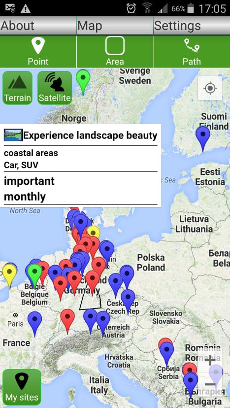
The MapNat smartphone application (mapping nature’s services) is designed as a tool for citizens and / or scientific research to map nature’s services, which the person mapping them is currently using or studying, including the location where they are used or studied. MapNat lets you map picnicking in city parks, biking in fields or forests, or bird watching in grasslands or wetlands, or environmental problems such as bad water quality, pests or plants causing allergies or hayfever. The records are sent from the phone to a server, which is collecting and processing the records of all users. Opening the map view of MapNat, users are enabled to identify spots or regions providing nature’s services they may be interested in, which have been mapped by other users. Your records support other users and are contributing to increase the scientific knowledge about nature’s services. Your records may also influence policy and planning processes for instance at municipality or regional levels.
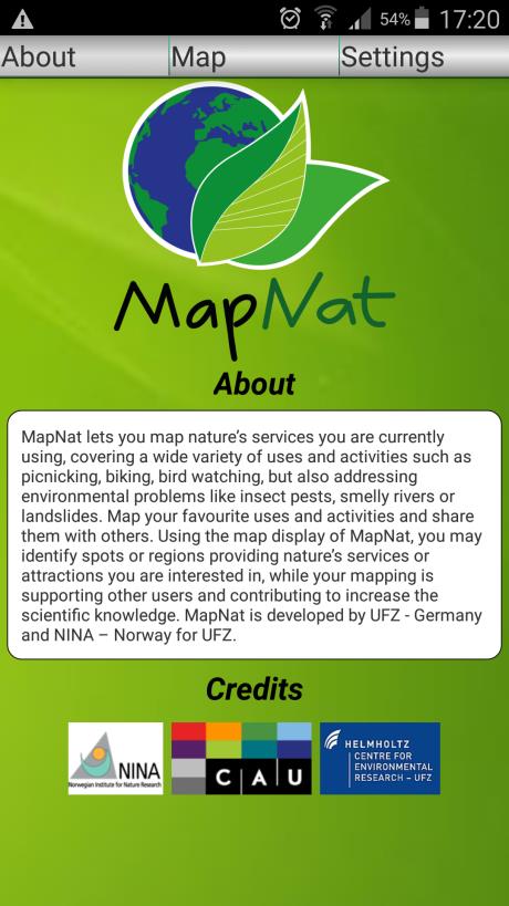
MapNat has been developed by the Environmental Research Centre - UFZ, and UNI Hanover (Germany) and by NINA (Norway) for ANDROID-based and IOS-based smartphones and is a non-commercial App developed for citizens and scientists. The App strictly respects the privacy of its users, not collecting, nor using nor submitting any personal information – all contributions are anonymous (unless a user decides to identify her- or him- self e.g. by providing feedback).
The MapNat app is available at the appstores of GOOGLE and APPLE.
Any technical and thematic comments are welcome. For questions, comments please contact joerg.priess@ufz.de


