
Products - Tools, Methods and Models
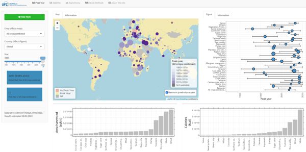

The department CLE is planning to use GeoNetwork as a catalog to manage its spatial referenced resources.
It provides powerful metadata editing and search functions as well as an interactive web map viewer. It is currently used in numerous Spatial Data Infrastructure initiatives across the world.
Recently relevant metadata records of formerly GLUES SDI have been merged to this new catalog. The GLUES catalog is therefore no longer accessible.
The application is stated as under development and therefore considered not 100% perfect yet, but things are on their way.
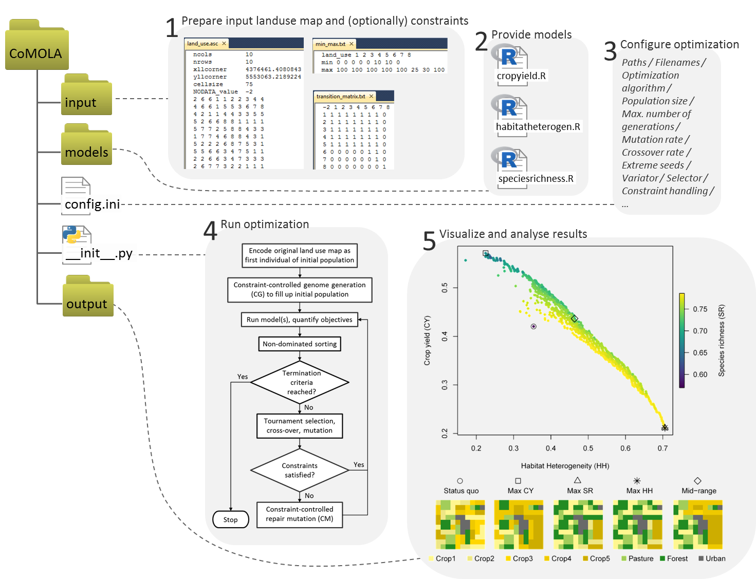
CoMOLA is a free Python tool to optimize the allocation of land use for multiple objectives. It builds upon the open source "inspyred" Python library and includes functions for reading, encoding and writing land use maps as well as genome generation and repair mutation algorithms for considering constraints during the optimization procedure.
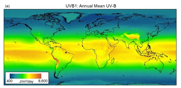
glUV is a set of climate surfaces containing information on various aspects of the global distribution of ultraviolet-B radiation (UV-B). The data represents a potentially useful addition to existing climate datasets (e.g. CliMond , WorldClim ) and may help refine macroecological analyses and bioclimatic modelling.
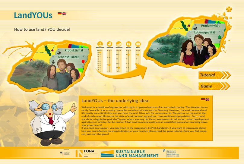
LandYOUs - How to use land? YOU decide!
A web-based game on land use. In our game, the player steps into the role of a politician for ten rounds and manages the land by the means of different policies.

SWAT - We support the further development of the The Soil Water Assessment Tool (still in development also at the USDA Agricultural Research Service Temple, Texas, USA) and use developments in our study regions.
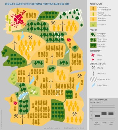
Regional scenarios - In this section we provide the storylines and additional information related to the regional land-use scenarios for Central Germany for the period 2010-2050.
