
Operational Copernicus Climate Change Water Service
Overview and Objectives
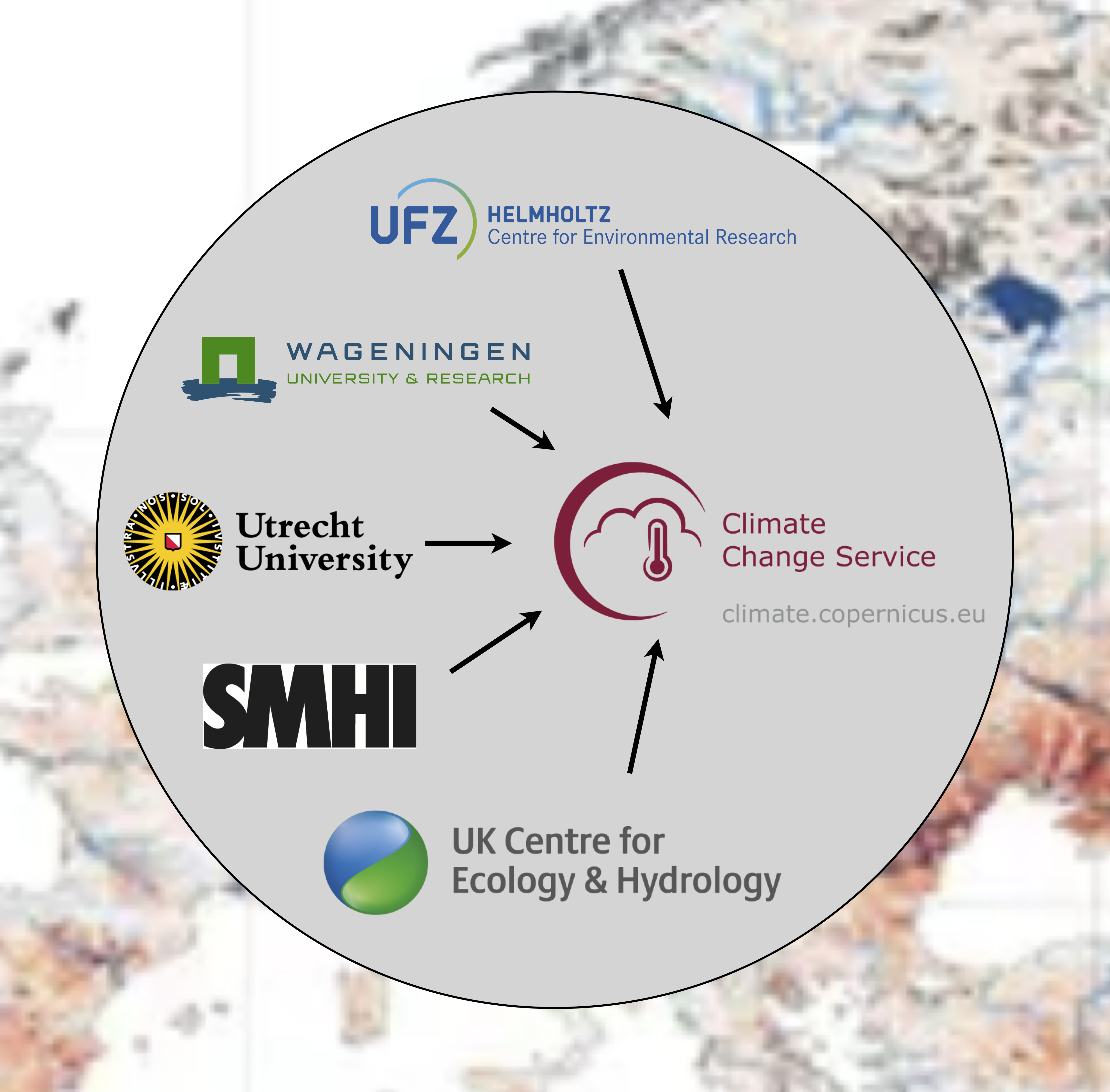
We are developing the Copernicus Climate Change Service (C3S) water service which will develop information about key hydrologic variables and state variables at European and Global Scale. Copernicus is the Earth observation component of the European Union’s space programme. The European Centre for Medium-Range Weather Forecasts (ECMWF) has been appointed by the European Commission with funding from the EU to operate the Copernicus Climate Change Service and the Copernicus Atmosphere Monitoring Service on its behalf. The C3S water service provides information for the past, present, seasonal forecasts, and climate projection. The service makes use of a multi-model hydrologic model ensemble. In total, five institutes are jointly contributing to the service:
- Helmholtz Centre for Environmental Research
- The Swedish Meteorological and Hydrological Institute
- Wageningen University & Research
- Utrecht University
- UK Centre for Ecology & Hydrology
Operational Services
Currently, the operational service for Europe are available on Copernicus Climate Data Store.
Multi-model seasonal forecasts of river discharge for Europe from January 2021 to present
A previous version of the service can be found here
Multi-model seasonal reforecasts of river discharge for Europe
The service we are developing is complementary to existing Flood Awareness Systems at European (EFAS) and Global (GloFAS) scale provided as part of the Copernicus Emergency Management Services.
Service Continuity
Maintain existing production systems and apply necessary updates until the new production chain is operational.
- Harmonisation: Align methods and tools across European and Global scales—ensuring differences stem only from resolution and datasets, not methodology.
- Service Evolution: Enhance the use and processing of seasonal forecasts, integrating new models and approaches such as Ensemble Streamflow Prediction (ESP).
- Demonstrating Value: Evaluate how hydrologic model ensembles and varying spatial resolutions affect forecast uncertainty and usefulness.
- User Support: Provide clear guidance and documentation on using both meteorological and hydrological forecast data.
Scientific and Technical Approach
Harmonisation will involve standardised spatial regridding, bias adjustment, and consistent handling of seasonal forecast data across systems. Hydrologic model ensembles and spatial resolution sensitivity will be tested, comparing European simulations at 5 km and global runs at 0.1°. New forecast sources will be added to enhance diversity and robustness of inputs, while studies will assess how ensemble size influences uncertainty.Open Data, Climate Projections & Modelling
The service will also support hydrological climate projections, with several key commitments:- Open-access tools for bias adjustment and downscaling, enabling transparent and reproducible workflows.
- A curated selection of climate projections aligned with the C3S Climate Atlas to capture key sources of uncertainty.
- Efficient production pipelines to generate large multi-model ensembles, promoting community contributions and individual hydrological modeling.
- A matrix approach to combine multiple climate and hydrological models, maximizing the sampling of projection space.
- Definition and co-development of climate-water indicators with users and integration into EarthKit, informed by emission scenarios and warming levels.
User Engagement and Guidance
A significant focus is placed on empowering users:- Documentation will include Jupyter notebooks and protocols for ensemble use and hydrological model evaluation.
- Recommendations will guide ensemble sub-selection and interpretation of indicators.
- We will ensure that user needs are met, especially around documentation, usability, and downstream services.
Impact and Vision
Ultimately, the enhanced C3S water service will offer a globally consistent, user-driven platform for seasonal hydrological prediction and climate-informed water management. It aims to support both short-term decision-making and long-term resilience planning, making it a critical resource in the face of climate variability and change.