
Monitoring of Commercial and Residential Brownfields in the City of Leipzig (COREBRO).
-Potentials to renaturalize and to revitalize urban brownfields-
Contact
Dipl. Geogr. Thomas Arndt
Partner
City of Leipzig
Funding
City of Leipzig: urban planning office, department of urban development planning
Outline
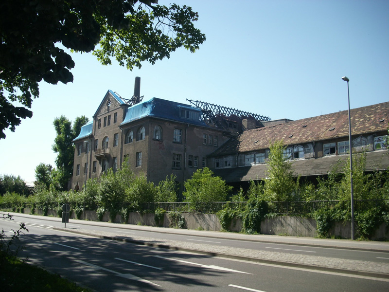
With the slogan "Leipzig 2020 – designing the future" the City of Leipzig is facing the challenge of the future urban development. Groundbreaking strategies are needed in the light of globalization, demographic change, the tight finances of municipalities and economic and social dynamics. The sustainable handling of urban brownfields provides a decisive approach.
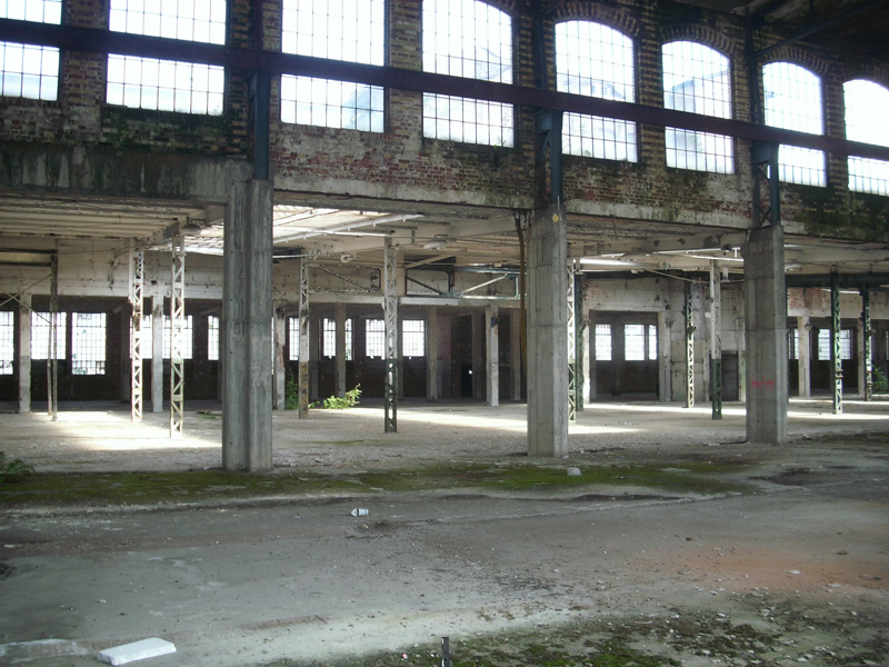
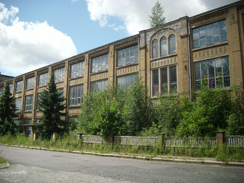
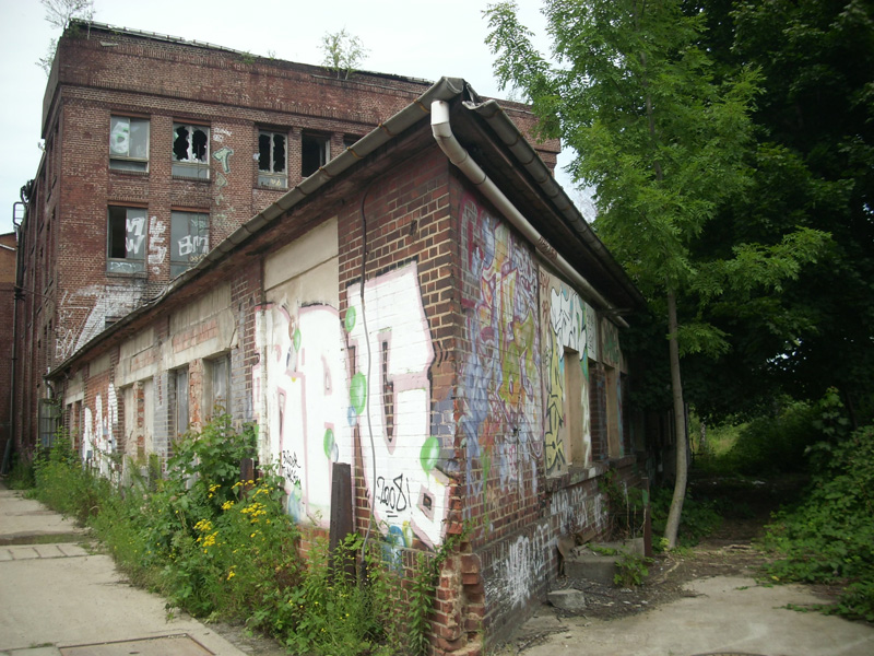
In a 5-year-cycle the City Council, the Department of Urban Planning’s Urban Development Planning Section and the UFZ – Helmholtz Centre for Environmental Research are jointly carrying out a survey of existing commercial brownfields in the entire City of Leipzig. Most recently, the spatial recording of residential brownfields has been added to this monitoring program. Firstly, both types of urban brownfields are recorded in the field. All registered data are then added to the brownfields information system of the City of Leipzig. Based on this procedure, a quantitative analysis is conducted and recommendations for transference into practice are made.
To get a deeper understanding of the urban development, the actual brownfield data sets are compared to the survey data from 2007. Besides the quantitative analysis, this change-detection procedure offers additional information to precisely localize the changes in the districts of the City and in the focus areas of the City Council. These spatial changes are investigated regarding their quantitative and qualitative effects on the neighborhoods and the local districts in order to classify spatial characterization with respect to a sustainable development.
Furthermore, analyzes are calculated with the tool box of remote sensing techniques and GIS methods using the official maps and cadastral land register and remotely sensed data. This approach offers the possibilities to shed light to aspects of urban ecological and socio-spatial research questions.
An emphasis lies on the revaluation of urban brownfields. The goal is to find ecological as well as economic potentials for urban brownfields and to establish a plan for open spaces which emphasize urban ecological qualities. This concept also supports urban development planning for densification in selected districts.
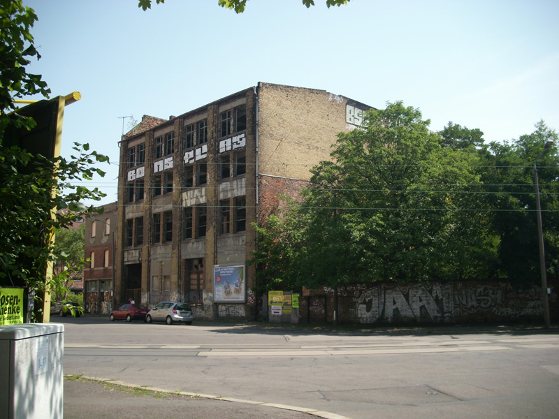
Photos by Jan Ladiges & Thomas Arndt

