SPP2361
On the Way to the Fluvial Anthroposphere
Duration: 04/2022 - 03/2025
Funding: DFG
Partners: Prof. Dr. Anja Linstädter1, Prof. Dr. Natascha Mehler2, Prof. Dr. Christoph Zielhofer3, Dr. Peter Kühn4, PD Dr. Lukas Werther5, Prof. Dr. Gerrit Schenk6, Prof. Dr. Peter Frenzel7, Prof. Dr. Sigrid Hirbodian8
1 University of Potsdam, Biodiversity Research / Systematic Botany, Potsdam, Germany
2 University of Tübingen, Department of Medieval Archaeology, Tübingen, Germany
3 Leipzig University, Institute of Geography, Leipzig, Germany
4 University of Tübingen, Soil Science and Geomorphology, Tübingen, Germany
5 German Archaeological Institute, Romano-Germanic Commission, Frankfurt am Main, Germany
6 Technical University Darmstadt, Institute of History, Darmstadt, Germany
7 Friedrich Schiller University of Jena, Institute of Geosciences, Jena, Germany
8 University of Tübingen, Faculty of Humanities, Department of History, Tübingen, Germany

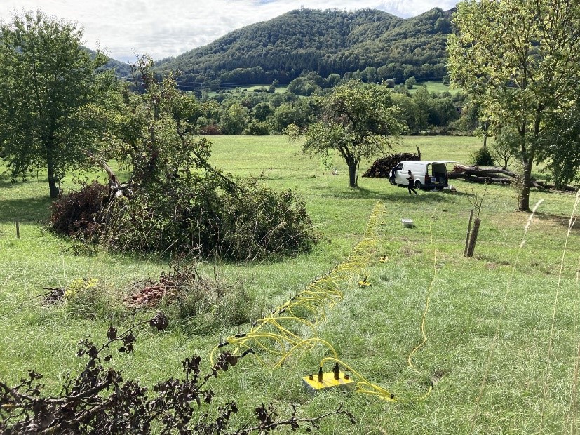
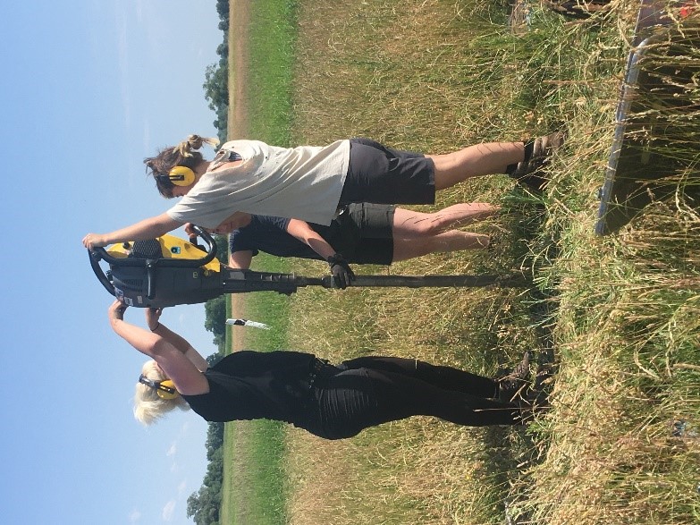
Within the two projects described below as part of the DFG priority program "Towards the fluvial anthroposphere", geophysical methods are being used to map fluvial systems over large areas. Filled-in channels, buried trenches and palaeosols are of particular interest. The also used direct push methods support the derivation of the respective floodplain stratigraphy through high-resolution.
Local pathways to the fluvial anthroposphere at Echaz (Rhine) and Eger (Danube).
A comparative analysis from 1100 to 1800 AD.
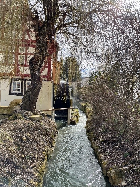
The aim is to provide a multidisciplinary description of fluvial societies and floodplains by integrating archaeological, geoscientific and historical research approaches. Floodplains of two similar southern German 3rd order karst rivers, the Echaz (Rhine) and the Eger (Danube) and their tributaries will be systematically compared in trends in socio-ecologicalprocesses in the Middle Ages and pre-industrial modern times. Both floodplains have been profoundly altered in very different local ways.
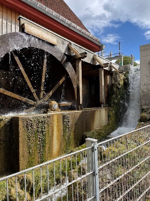
Our focus lies on the reconstruction and analysis of hydropower utilization and hydraulic engineering, urban crafts, waste disposal and land use. This makes it possible to trace formative effects on the floodplain and identify new indicators for anthropogenic influences. These information help with spatiotemporal modeling in order to obtain transferable and scalable results.


Lower Havel region and Donaumoos region: "Failed" or "successful" reclamation of floodplains and peatlands - a comparative analysis.

