DIGI Humus
Detection and regionalization of humus properties using VIS-NIR spectroscopy and digital soil mapping
Duration: 36 months
Funding: Fachagentur Nachwachsende Rohstoffe e. V. (FNR) - promoter of the Federal Ministry of food and Agriculture (BMEL)
Partner: Saxony Forest
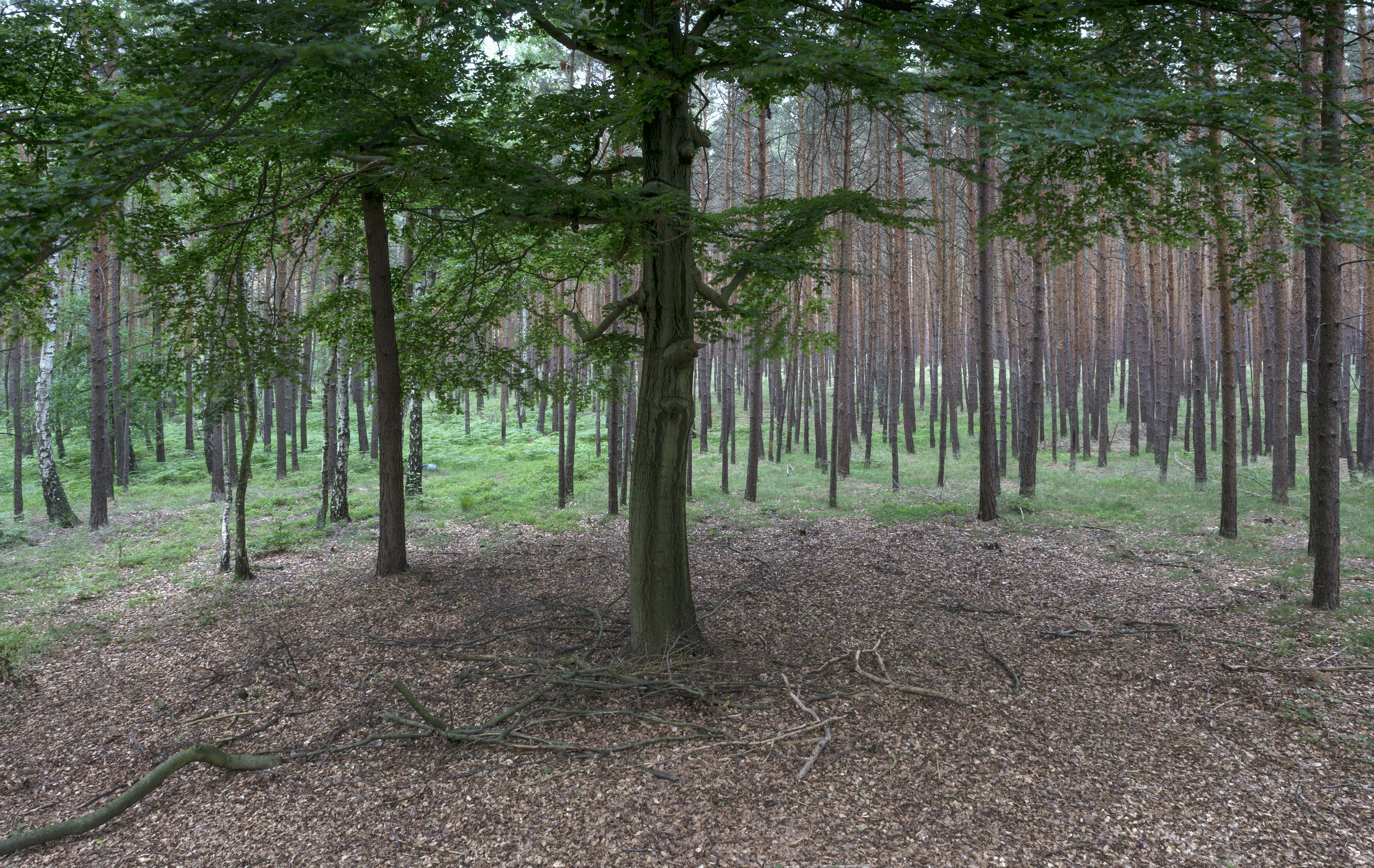
In forestry, high resolution data about humus properties are crucial to assess forest stands with respect to nutrients availability and to develop site specific management strategies. To date, field mapping of humus properties were conducted based on the morphological form of the humus and the locally occurring vegetation. Forest sites are constantly affected by element input, climate change and management measures, which can lead to unified and shaped forms of humus and vegetation. Therefore, their validity regarding soil properties have to be questioned. Furthermore, cost-effective, periodically updated Information is of great value for forest management. Digital soil mapping is seen as a possible approach to face these challenges. The project DIGI-Humus aims to review this approach in cooperation with Sachsenforst.
Within in the project, the task of department MET is the examination of soil samples with reflectance spectroscopy in the visual and near-infrared region of the electromagnetic spectrum (wavelength: 350-2500nm). In addition, a spectral data base for three test sites is to be composed. Spectroscopy is used in soil science for indirect measurement and prediction of physical and chemical soil properties. Analyzing humus horizons has also been conducted successfully on forest sites. The assumed correlation between measured spectra and soil properties is investigated by means of regression analysis und then used to calibrate a model.
The objective is to combine VNIR-spectroscopy and digital soil mapping to develop an accurate and practical method than can be used for periodical mapping of soil properties in forestry and further has the potential to supplement current methods of forest site mapping.
