National assessment of ecosystem functions and services in German floodplains
FuE-Vorhaben Nationales Auenprogramm - Beitrag zur Klimaanpassung und zum Schutz der Biologischen Vielfalt
Project lead: Dr. Klaus Henle
Project management: Mathias Scholz
Project stuff: Christiane Schulz-Zunkel, Christiane Ilg, Hans Dieter Kasperidus, Dr. Wanda Born (Dep. Ökonomie)
Cooperation: Institut biota, Dr. Dr. Dietmar Mehl
funded by: FuE-project of the German Federal Agency for Nature Conservation (BfN),
FKZ 3508 85 0100
Contact person inside the BfN: Dr. Thomas Ehlert
Duration: 15. December 2008 bis 31. December 2010
Project description
Floodplains are among the most valuable, but also most endangered ecosystems in Europe. They are hotspots of biodiversity and central elements of an ecological network. There is almost no other ecosystem type that offers such a remarkable variety of goods and services to humans like rivers and their floodplains (e.g. flood prevention, ground water reservoir, filter for sediment and dissolved nutrients and pollutants (sink function), living carbon storage, recreational area or the natural habitats). Floodplains can provide these ecosystem services only, if their ecological integrity is sustained.


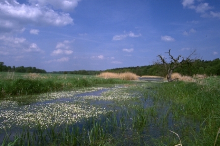
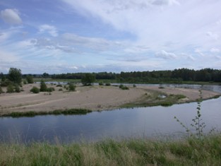
Oxbow lake in the Elbe floodplain (Photo: F. Dziock); Allier river (Photo: M. Scholz, UFZ)
Based on a first nationwide consistent and updatable inventory of the loss and status of German floodplains funded by the German Federal Agency for Nature Conservation (BfN), which provided an overview of former and active floodplains in Germany (Status report of German floodplains), we have developed methods to quantify and to assess floodplain functions and services for large rivers.
In particular, four ecosystem functions and related services are studied:
- flood retention
- nutrient retention (nitrate retention via denitrification and phosphorus retention via sedimentation
- carbon stocks and carbon sinks regarding greenhouse gas emissions
- habitat function /biological diversity
Economic aspects are included (e.g. mitigation costs). The work focuses on methods and results for the assessment from available spatial information on land use and soil types as well as related proxies for 79 floodplains across Germany.
