SITE – A generic framework for integrated modelling
The SITE framework (SImulation of Terrestrial Environments) is a generic
modelling platform supporting spatially explicit land-use modelling. Compared
to most existing land-use modelling environments, the functionality of SITE is
not confined to managing the execution of land-use models, but additionally
integrates (i) a Python based interfaces to link new models to study different
processes e.g. in hydrology or changes in biodiversity, and (ii) libraries
for simultaneous multi-model calibration and testing (via various
map-comparison algorithms). SITE can be employed for and adapted to climatically
and socio-economically very different study regions and research foci.
SITE integrates the infrastructure to facilitate the typical land-use modelling
workflows, e.g. cell and cluster iterators, neighborhood and distance
calculations. In particular, emphasis was laid on the integration of model
calibration and testing components by a map comparison toolkit for categorical
maps, implementing state of the art spatial statistics like Kappa, Figure of
Merit and moving window approaches. Calibration is performed using optimization
algorithms, e.g. a genetic algorithm, to encounter a solution for the multiple parameter
sets. The software design of SITE follows a modular approach to facilitate
further development of the software, as well as the adaptation to new research
questions and/or regions. As far as possible, up to date technologies and
software libraries were used. For the definition of case simulation rule sets
and other case study specific code, SITE integrates a Python application
programming interface. Input and output data are managed in SQLite databases.
Land-use model scheduling
SITE is based on an extended Cellular Automata concept i.e. employing a rule-based approach, which is simulating land-use decisions in annual time steps. Simulations are carried out in the sequence
- Multi-criteria suitability assessment: including ecological, economic and cultural and demographic factors as well as neighbourhood effects (spatial auto-correlation)
- Decision making: based on the suitability assessment as well as regional constraints and rules, regulations & regional preferences.
- Land allocation : driven by demands for spatially relevant commodities
- Calculation of vegetation & crop growth/production: based on the DAYCENT model (a process based (agro-)ecosystem model) working with daily time steps and including crop management such as fertilization, irrigation, tillage,
- Calculations of other ecosystem services: e.g. such as pollination involving additional component-models and/or using output from 3-4 (land-use pattern, soil fertility, GHG),
- Calculation of land-use related changes in biodiversity: based on IUCN criteria.
Note that the SITE framework may employ other models / model types to represent decision making (CA or ABM) or biophysical processes (DAYCENT or DNDC, empirical functions) or add new functionality to account for other processes of interest if needed (erosion, hydrology).
Current case-studies
|
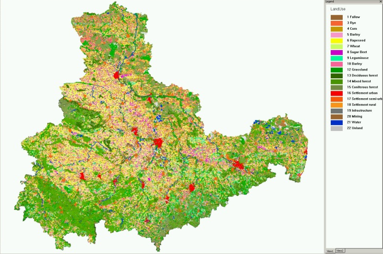
SITE-Central Germany SITE-Central Germany (SITE-CG) is embedded in a large multidisciplinary research program ‘Terrestrial Environment’ by the Helmholtz Research Community. SITE-CG will address regional land-use drivers, constraints and options, such as urban-rural dynamics, demographic transition, adapted management & crop production, bioenergy crops, etc. SITE will embed new components designed to optimize land use with respect to the provision of ecosystem services (or other goal functions). |
|
|
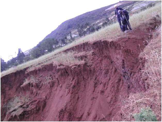
SITE-Blue Nile Under the topic “Integrated Assessment of Land Use and Water Resources Management in the Upper Blue Nile River Basin” the SITE framework is used for the development of a land-use model linked to hydrological models to study environmental impacts resulting from land and water interactions. The work is embedded into the AFROMAISON project and realized by Seleshi G. Yalew (UNESCO-IHE) and Ann van Griensven (University Brussels) in cooperation with the SALAS group which provides support for the case study implementation. |
|
Completed case-studies
|
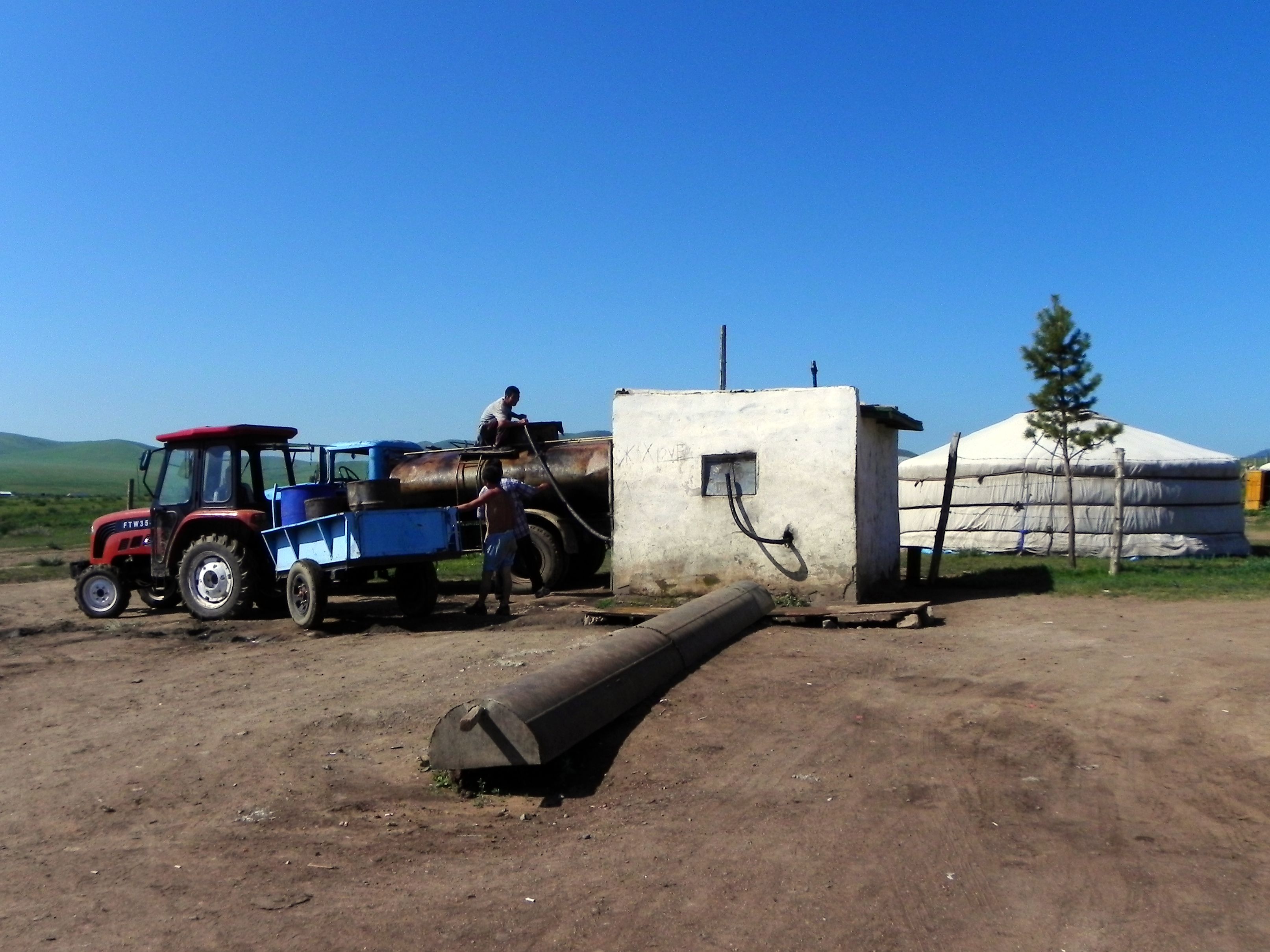
SITE-Mongolia The SITE-Mongolia model (MoMo) is being developed to study regional land dynamics with a strong focus on the linked impacts on water resources, as a contribution to integrated river basin management. The modelling approach supports coupling the socio-environmental system combining agriculture & forestry, demography and other economic sectors such as, industry & mining. The study was funded by the Federal Ministry of Education and Research (BMBF) 2006-2013. |
|
|
SITE-Karnataka The SITE-Karnataka project is addressing research topics related to (i) the production of bioenergy and (ii) land use change. The project is focusing on the state of Karnataka in South India. Part of the area includes the Western Ghats region, which has been identified as an important Biodiversity Hotspot. Primarily an agrarian economy, the area is experiencing sharp increases in pressures on environmental resources (land, soils, water) to meet rising food and energy demands. The project is funded by the German Academic Exchange Service (DAAD), 2007-2010. |
|
|
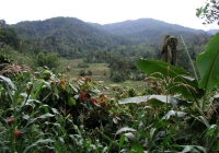
SITE-Sulawesi The main objective of SITE-Sulawesi is to study and simulate land use in a highly dynamic tropical landscape, focusing on socio-economic and environmental effects of different strategies of resource use. SITE-Sulawesi is developed in the context of STORMA, a multidisciplinary research project, located in Central Sulawesi – Indonesia and funded by the German Research Foundation (DFG) until 2008. |
|
