National Groundwater Resources Model
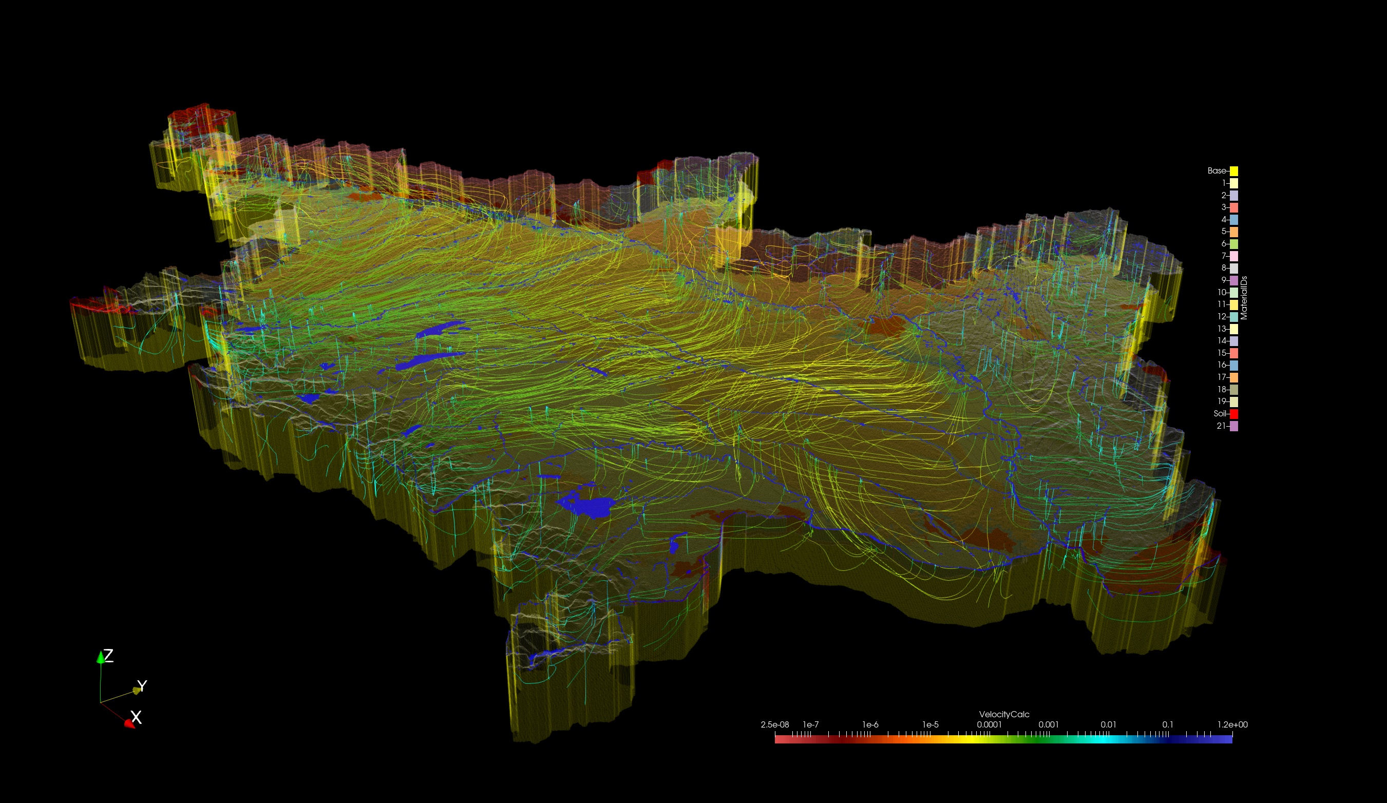
That project aims to develop an operational large scale numerical flow model coupled to surface hydrology and including hydrogeologicall features (i.e. aquifers and aquicludes) that are relevant for water economics, agriculture and the environment.
Such a model is designed to answer on pressing questions, which are associated with the reality of climate change and forecasted effects such as less summerly rainfall and more often occurring extreme weather situations (heavy rainfall and droughts). That will lead to increasing groundwater abstraction for agricultural irrigation, process water in commerce and industry as well as for urban water consumption, at least during summer. In addition, probable changes in groundwater recharge may put pressure on groundwater resources in Germeny, Central Europe and elsewhere.
The related questions we want to answer are:
§ How will groundwater resources quantitatively evolve (seasonal, long-term)?
(impact: drinking water, irrigation, process water for commerce & industry)
• changing reaction (time) of aquifers (diffusivity)
• changing storage (kf, porosity, collaps of aquifer sceleton)
• disturbed fresh/saltwater interface along coasts
§ will groundwater remain to be the long-term baseflow generator?
(impact: ecosystems, waterworks, shipping, fishery, tourism, ...)
§ vulnerability of groundwater bodies, securing of quality possible?
(impact: fresh water resources, aquatic ecosystems)
• changing residence times and flow paths
• reduced buffering capacities of aquifers (degradation)
• changing nutrient export to surface bodies and the coastal ocean
• seawater intrusion along coasts

Activities
We split up the country into the major river basins of 1st order to prepare individual flow models on the basin scale. The target is to eventually glue tem together.
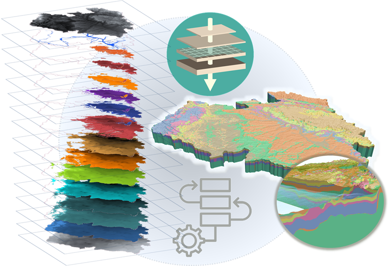
For each of the basins, firstly the relevant hydrogeological units must be defined and their geometry must be translated and digitized into a 3D subsurface hydrofazies model. Later on, boundary conditions and parameter sets must be included, reflecting the reality as optimal as possible.
Therefore, we develop workflows and solutions to realize these steps with open source packages and innovative methodologies like spectral analyses of time series of groundwater levels and river discharge.

