

Mitigating land use conflicts - between land sparing and land sharing
World-wide increase in human population, urban dynamics and rising needs for energy production and water resources are on the political and scientific agenda. It is well known that these processes lead to multiple competing demands for land. The resulting land use changes come at a cost in the form of trade-offs between ecosystem services (ESS) such as food production, water quality and quantity, erosion control or soil fertility. An in-depth knowledge and quantifications of trade-offs, which is the base for sustainable land management, is missing. Against this background, there is an on-going discussion on the most suitable land management approaches to ensure the sustainable provision of multiple, often competing, ESS. Currently, two contrasting approaches related to different intensities and configurations of land use are discussed: land sparing versus land sharing. Optimum strategies along these two extremes might differ, depending on landscape characteristics and the targeted spatial scale. We therefore hypothesise that halting or reversing declines in ESS and biodiversity requires addressing the following questions:
- How are biodiversity, ecosystem functions and ESS interlinked at the plot, landscape, regional, national and continental scale?
- How do these relationships vary for different landscape types and with respect to the approaches of land sparing versus land sharing?
- What are the trade-offs between different ESS, and what could be strategies to maintain or restore ESS and biodiversity in parallel?
- What would be suitable legal and economic instruments to govern land use at the various scales - between land sparing and land sharing?
Out of these questions we developed the general goals of the IP, namely the development of scenarios, process understanding, indicators, optimisation tools and policy instruments to quantify and safeguard ESS and biodiversity in cultural landscapes for future generations.
 Interrelations between land use, biodiversity, ecosystem functions, ESS and socio-economy
Structure
To answer the questions above and meet the goals, we established four work packages (WP) to address the following general elements of the IP:
(1) development of regional land use scenarios based on different potential developments in land use policies including the impact of urban development, the consequences of changes in energy supply systems and new developments in agriculture and biodiversity conservation WP1
(2) study of mechanisms, processes and the development of new indicators for biodiversity, ecosystem functioning and ESS including the valuation of services WP2
(3) analysis of trade-offs and synergies between ecosystem functioning and ESS in different land use types, land use intensities and landscape configurations WP3
(4) development of concepts, tools and policy instruments for adapted land use systems to secure biodiversity conservation and the provision of ESS WP4
Conceptual framework
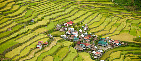
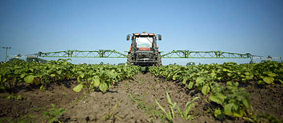
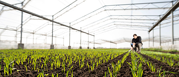
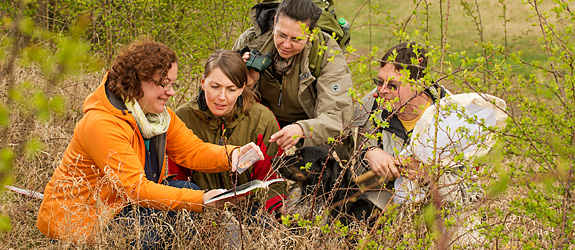
Central elements are case studies analysing three major landscape types: (i) agricultural landscapes as the dominating element in Central Europe, (ii) urban landscapes (the fastest growing landscapes in Central Europe), and (iii) (semi-natural) landscapes including national parks and biosphere reserves as the backbone of biodiversity conservation. Case studies of alternative land management (e. g. intensive versus extensive farming) are included. The geographical focus areas of the IP range from the local through the regional (especially Central Germany) and national to the European scale, to consider that possibilities and limitations for land sparing and land sharing change with spatial scale (figure below).
 Visualising the conceptual framework