Floodplain Observatory, Magdeburg
Recent droughts have shown that small water bodies are particularly vulnerable to climate change. Where water bodies are located close to rivers, there is an additional risk from the long-term lowering of groundwater levels due to the conversion of rivers into waterways and the subsequent incision of the river bed.
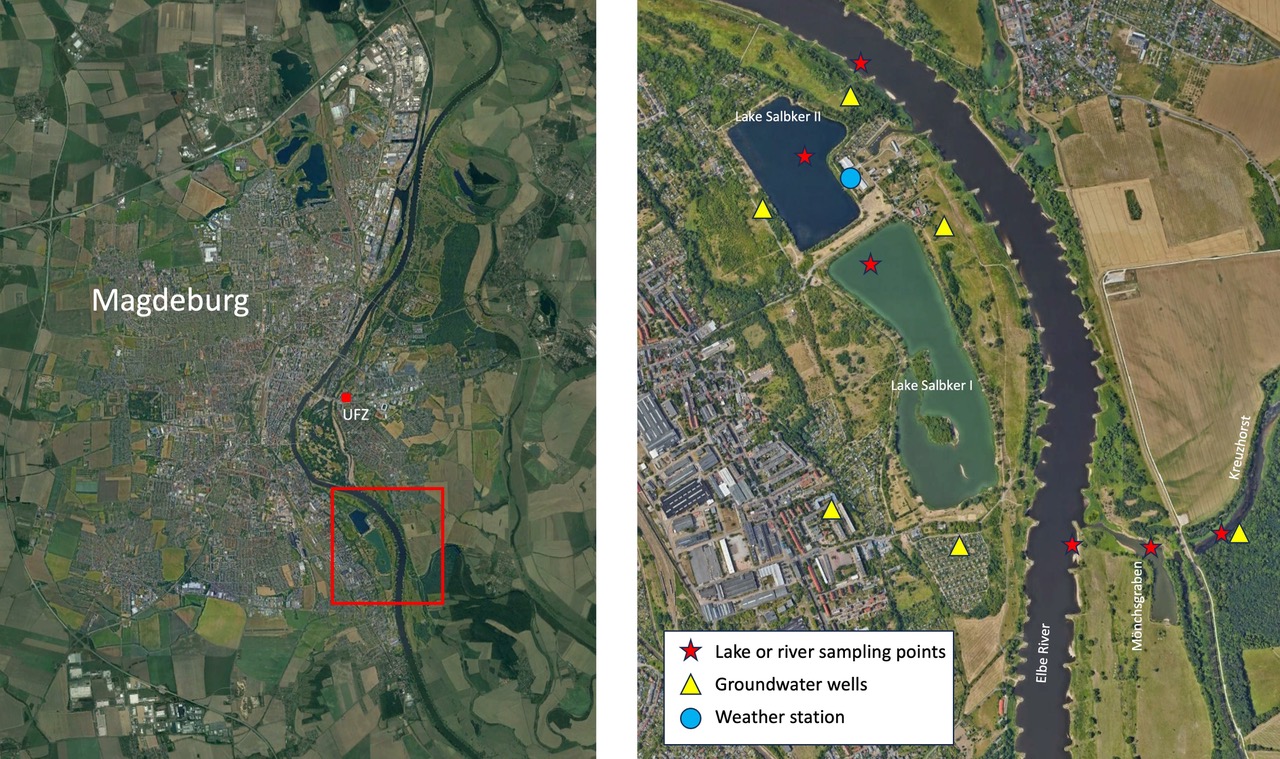
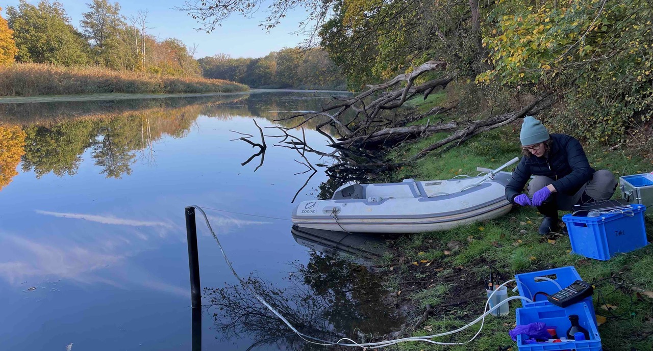
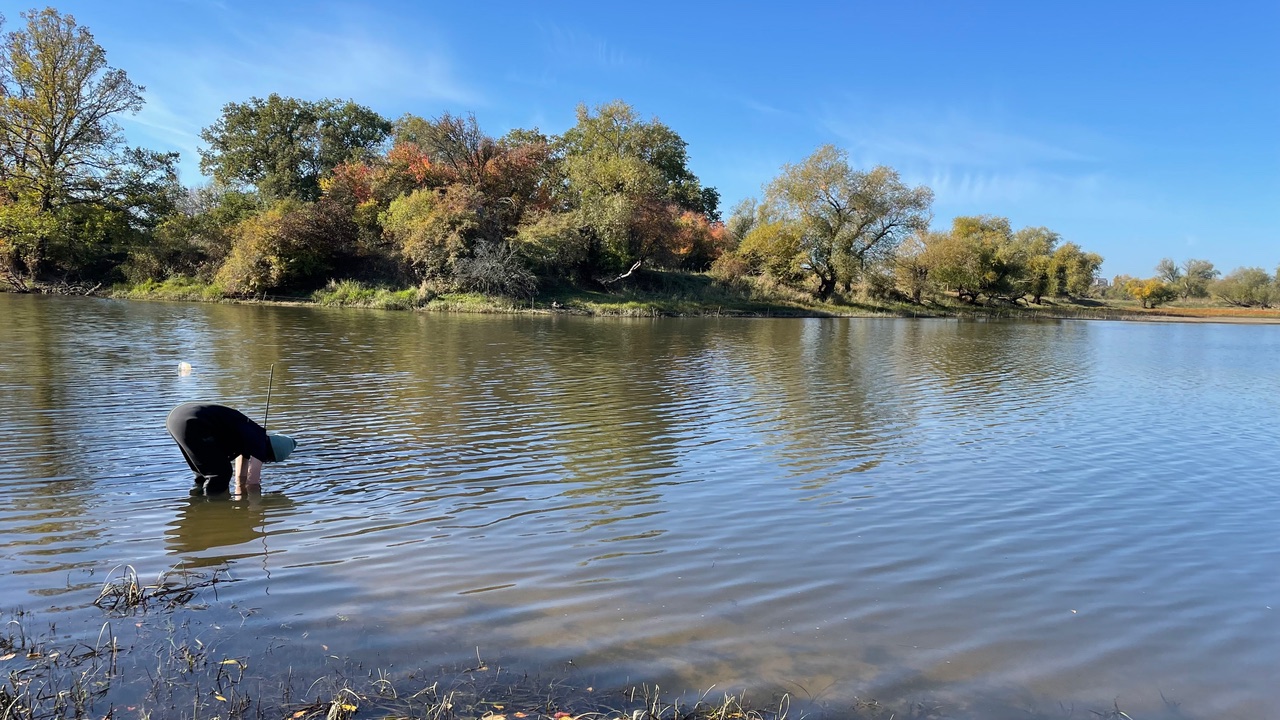
We started regular sampling and installation of monitoring devices in the Elbe River and four adjacent water bodies in the summer of 2022 (Fig. 1). The infrastructure includes six groundwater wells and a weather station. Surface water and groundwater levels will be monitored using a set of pressure loggers.
We are open to offer this unique monitoring site as a platform for new research questions and cooperation. If you are planning a field study or experiment, or need monitoring data for analysis, we would like to hear from you. Below you will find some information about the waterbodies, the monitoring equipment and the sampling program.
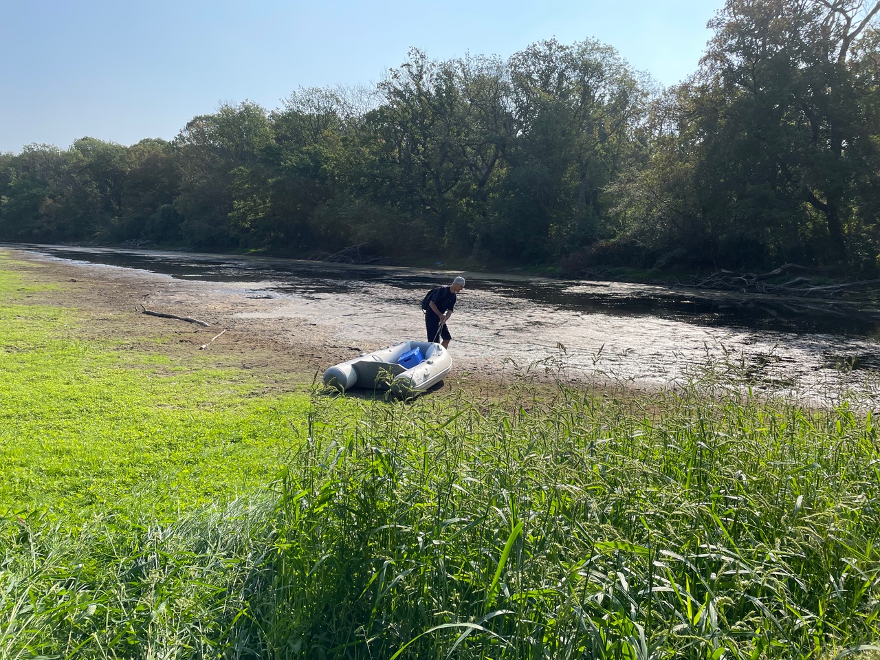
Kreuzhorst and Mönchsgraben belonged to a common river course, which was the main stream of the Elbe River until the year 1000. The Mönchsgraben is permanently connected to the Elbe River. The Kreuzhorst is separated from the river by a dike, but gradually follows the water level of the river. It is surrounded by one of the most species-rich, hardwood floodplain forests along the Elbe River.
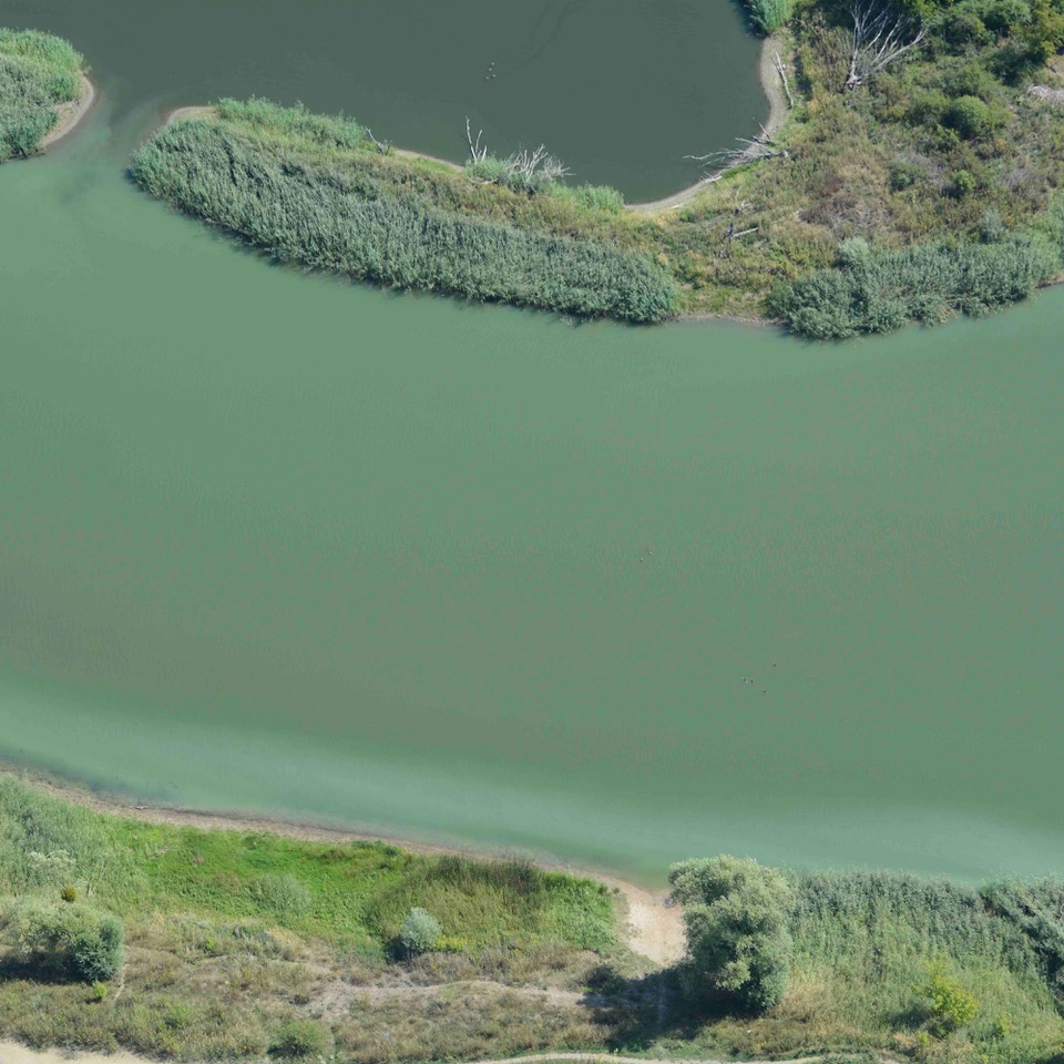
The two Salbker lakes were created by gravel excavation. They have no surface connection with the Elbe River and can only be flooded during stormflow. They are fed by groundwater, but their water level depends on the River. The northern lake (II) is not permanently stratified and is meso-eutrophic. The southern part (I) is stratified and extremely eutrophied. Blue-green algae reduce transparency to 10-20 cm throughout the year. H2S regularly accumulates in the hypolimnion, leading to fish kills in late summer. Discussions are underway to connect the lakes to the Elbe River via a bypass.
