Research Unit
Smart Models / Monitoring
Smart models and monitoring allow complex environmental systems to be analysed and reliable predictions to be made about how environmental systems will react to anthropogenic disturbance.
To this end we have to succeed in reducing models to the absolute minimum required level of complexity and in optimally parameterising them. This is a tremendous challenge in light of the complexity of environmental systems, the countless human - nature interactions, the extent, range or limitations of data, the different temporal and spatial scales and the human factor.
Challenges
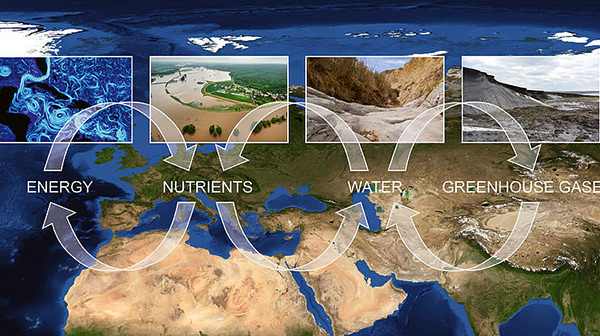
Environmental systems are extremely dynamic, shifting from chaotic and unstructured complex states to diverse but structured complex states and vice - versa. Their characteristics and driving forces are not only heterogeneous, but also move on different temporal and spatial scales. If one then considers the multiplicity of interacting change processes on different scales that can lead to nonlinear and delayed reactions in environmental systems, it becomes clear just how difficult it is to explore and observe environ-mental systems in a measurable way or to describe and analyse them using models.
Even if we succeed in developing predictive regional models for water-, energy- and material flows, biodiversity or eco- system functions, then these results are largely afflicted with factors of uncertainty and it is imperative that such uncertainties are quantified and communicated. Furthermore, we are becoming more and more conscious of just how important it is to include the unpredictable human factor in models.
Uncertainties in predictions need to be quantified and communicated.
Questions
What is the right amount of simplicity or reduced complexity for environmental system models that will still provide us with reliable predictions? How does one reduce complexity? How can environmental systems such as the geological underground, soils, entire forest systems or river catchments be explored and observed over longer periods of time? How can gaps in the data be filled? Is the answer only through monitoring? Or can existing data also be extrapolated? Is there any quality control for big data sets? How (in) accurate are forecasts? Can the human factor really be portrayed in models?
So far the scientific community has taken two different paths. Scientists in this field either tend to develop multi - processing, complex models with an ultra - high resolution both temporally and spatially that are extremely complex and simulate an obviously exaggerated prognostic reliability. Alternatively, they use over - simplified conceptual models, which have been adapted to specific regions, ecosystems or species communities and cannot therefore easily be transferred to other environmental systems or regions.
Scientists in the thematic area “Smart Models and Monitoring” on the other hand have adopted a completely new approach. They have developed a hydrological modelling system based on the knowledge that large - scale phenomena such as the regional flow of a catchment area does not necessarily depend on all of the small - scale characteristics of this catchment area.
Hence, it follows that a model can be made much simpler without losing its predictive power. This characteristic is referred to as the self - averaging property. The model has an optimal degree of complexity, is practical and can be transferred to other regions. These kinds of models are called “smart models”. If the UFZ intends to keep following the smart model path, then data sets that are already available from various sources need to be prepared in such a way and undergo quality control to ensure that they are suitable to answer the respective question. The same applies, if data are missing: investigation-, monitoring- and measuring campaigns must be driven by the model approach and the question that we wish to answer (goal orientation). In order to be able to uniformly and mathematically describe biotic and abiotic environmental systems, gaps need to be closed in the formulation of theories and scaling methods that work in theoretical hydrology must be fine - tuned for more complex environmental systems.
The UFZ develops smart models for three major areas: for terrestrial hydrology, for terrestrial and aquatic ecology and for geo - systems. Regional catchment models are being developed for hydrology, which help to conduct monitoring and measuring campaigns in a more goal - oriented manner or to optimise the management of water resources with better projections. Thereby scientists want to make the leap from complexity - reduced hydrological models to complexity - reduced ecosystem and matter flux models on regional scales. In ecology the goal is to develop a common theoretical fundament for describing environmental systems by sufficiently incorporating biotic and abiotic factors, processes and feedbacks.
With this fundament ‒ the core of a new generation of more regional, more integrated, “smarter” environmental system models, it should be possible to mathematically describe and project ecosystem processes on the landscape level and at the same time reliably project them for the future. In the field of geo - technical systems THMC - modelling is implemented using strongly interlinked processes (thermal, hydraulic, mechanical and chemical) in order to analyse multi - physical processes in complex natural and technical energy systems.
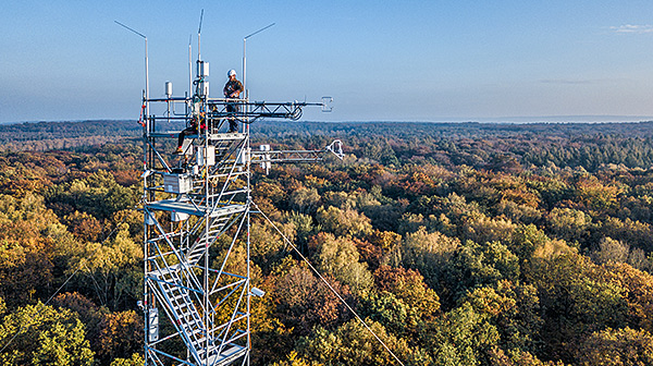
At the heart of the environmental monitoring and valuable data suppliers is the hydrological and ecological observatory TERENO (Terrestrial Environmental Observatories). This Helmholtz observation platform is to be extended with a modular architecture in the future from the observatory MOSES (Modular Observation Solutions for Earth Systems). It is to be rapidly and flexibly implemented on a European - wide scale to record extreme events or in regions known for their trends in increasingly longer dry periods.
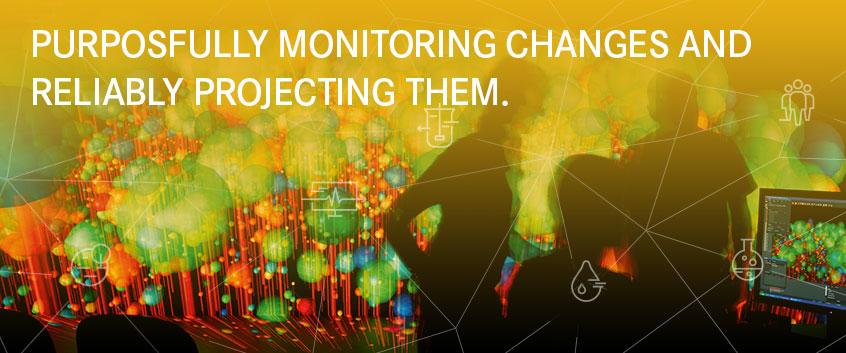
The research infrastructure ACROSS (Advanced Remote Sensing) provides the necessary remote - sensing data on changes to the Earth’s water and biomass regimes. The visualisation centre VISLab has established itself as part of the UFZs infrastructure that is specialised in environmental data, enabling processes in technical energy systems, soil particles, aquifers or entire river catchments to be visualised in 3D.
In order to meet the higher arithmetic performance requirements of the models, a common computer concept is being developed for earth system modelling with partners such as the German Climate Computing Center (DKRZ) and the Research Centre Juelich.
As a cross sectional field, the UFZ’s thematic area “Smart Models and Monitoring” is linked to all thematic areas, in particular “Water Resources and the Environment” and “Ecosystems of the Future” and within the Helmholtz Com-munity itself in particular with the centres of the research field “Earth and Environment”, and under it the German Aerospace Centre (DLR) in the field of remote sensing and the Climate Service Center Germany (GERICS) at the Helmholtz Centre Geesthacht for climate modelling. Important strategic partnerships also exist with specialist authorities such as the German weather service or the National Center for Atmospheric Research NCAR in the United States.
Whether it is remote sensing, big datasets, data quality and data availability or the evaluation of modelling and monitoring concepts, it is only through the exchange of knowledge and expertise on the scientific level and from feedback with users that will allow us to come up with future scenarios as well as early - warning and planning systems as reliable decision - making tools.
News
Strategic Initiatives and Projects of the Research Unit
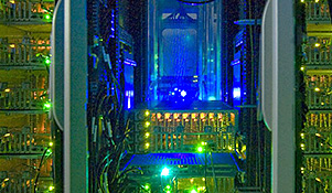
Digital Science Projects - Within the Research Unit, there are various efforts to make progress on the path of digitalisation in terrestrial environmental sciences.
Research Data Management - Managing research data responsibly is a core of good scientific practice. The Research Data Management unit supports researchers at UFZ in doing so.

MOSES (Modular Observation Solutions for Earth Systems) is a flexible and mobile measurement system for earth observation. Nine research centres of the Helmholtz Association are involved.
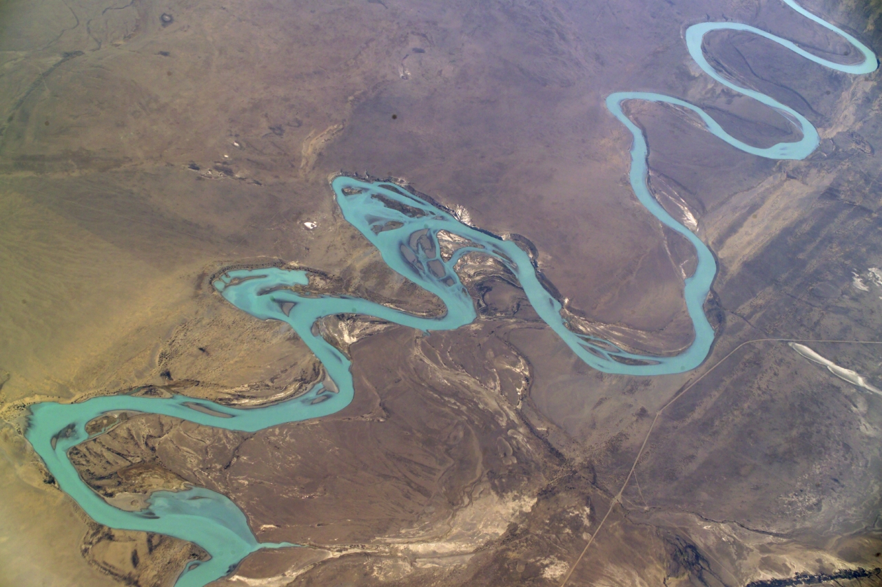
RSC4Earth (Remote Sensing Centre for Earth System Research) is a joint initiative between Leipzig University and UFZ to expand research in the area of Earth System Research and to better understand ecosystem functioning and water dynamics in a changing world.

The Science Center CASUS (Center for Advanced Systems Understanding) in Görlitz, Saxony pursues the vision to develop a systematic understanding of the complex phenomena of our environment with new digital methods.
Helmholtz Climate Initiative - Research data and information on climate protection and adaptation are essential for coping with climate change. The Climate Initiative, led by the UFZ, connects the activities of 15 Helmholtz Centres.

Water resources informationsystem Germany (WIS-D) - Supporting the management of water resources in Germany is the focus of WIS-D. To this end, a dialog and data platform is being developed with partners from industry and economy to support both management and adaptation to climate change.
With the help of COCAP we develop a deeper understanding of how to increase future coping capacities of nations facing pandemic crises. What are the essential success factors contributing significantly to this?
Further information
|
TERrestrial ENviromental Observatories TERENO |
|
Modular Observation Solutions for Earth Systems MOSES |
|
pan-European Long-Term Ecosystem Research Infrastructure eLTER RI |

|
EVE is the operational computing system of the UFZ operated by our WKDV. EVE is a medium high-performance-computing (HPC) cluster and suitable for a large variety of applications in environmental research. It also provides an excellent test bed for developing and testing parallel applications for Tier 0/1 HPC architectures (e.g. for JUWELS). |

|
JUWELS is the Tier 0 computing system of the Helmholtz Association. The Booster Module (44 petaFLOPS) is currently (Nov 2021) on the 8th place in the Top500 fastest computers worldwide. UFZ’s modeling platforms OpenGeoSys and mHM are running on JUWELS in operative mode and taking advantage of its computational power in various application projects |

|
The term exascale computing is related to the decimal unit prefix (exa) and means computing architectures which are able to process 1018 floating point operations per second (1 exaFLOPS). Building exascale computers is still a huge technical challenge; the first project at Argonne National Laboratory is still under way. The Helmholtz Incubator project “JointLab ExaScale” is dedicated to prepare suitable methods and software solutions for exascale computing in future. UFZ is involved in several aspects here, e.g. developing fast I/O streams for numerical simulations (HDF5), in-situ visualization (visual analytics during runtime), and machine learning. |
The complete list of the publications can be found on the department pages:

