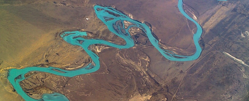
Department of Remote Sensing (RS)
Remote sensing plays a key role in monitoring the Earth surface dynamics. Satellite-based and airborne sensors have acquired rich datasets at multi temporal and spatial scales. Novel products derived from remote sensing data with sophisticated algorithms provide a unique opportunity to advance the understanding and quantification of complex processes and their interactions within the Earth system. Their further integrations with Earth system models will lead to accurate global and climate change forecasts and development of mitigation and adaptation strategies.
The Remote sensing department is experienced in the quantification of spatial and temporal water variability and energy flows in a changing climate, as well as investigation of climate change effects and land use changes on vegetation across scales.
This is supported by the development of new products from optical, thermal, and microwave satellite observations, and the coupling of these products with hydrological and ecological models. In addition, we also devote efforts in gathering remote sensing data from airborne (e.g., unmanned aerial vehicle and aircraft) and ground-borne platforms. Respective sophisticated processing chains and multivariate methods have been developed to retrieve reliable land surface parameters, which provide valuable information for calibration and validation of satellite retrieval and model simulations. Our research are driven by the following key questions:
- What are the impacts of climate change on water/energy resources and ecosystem functions?
- How can we improve process understanding in land–atmosphere as well as land-use–biodiversity interactions with remote sensing?
- How can we quantify water and vegetation parameters across scales through the integration of multi-source remote sensing data, physical models and machine learning methods?
- What are the benefits of transferring our remote sensing expertise to address societal challenges?
The key objective of the department is to develop novel remote sensing products to capture land surface water and vegetation dynamics. It will fully leverage multi-monitoring techniques that allow observing vegetation characteristics, soil moisture and evaporation dynamics at different spatiotemporal scales.
The retrieved products and established processing framework will be applied to evaluate and integrate with the hydrological model system mHM, and the forest model FORMIND and to bridge the gap to biodiversity ground assessments. It is envisaged to provide a better prediction of the impacts of climate and land use change on the environment.
The department is as well embedded in the Remote Sensing Centre for Earth System Research (RSC4Earth, https://rsc4earth.de), which has been jointly founded by the UFZ and the Faculty of Physics and Geosciences at the University of Leipzig. The aim is to strengthen basic and application-oriented remote sensing research. The RSC comprises a total of four professorships. They cover the topics soil and vegetation, remote sensing modelling approaches, geo and ecosystem analysis and water cycles.
