Department of Environmental Informatics
The use of technology in water resource management and the energy sector is characterised by various physical, chemical, (micro)biological processes, and their interactions. Their impact on the environment raises a variety of questions: How can the sustainable management of water resources be achieved, particularly in areas of water scarcity? Which challenges arise from the increasing use of the subsurface as an energy resource, storage, or safe depository of waste materials? What are economical and simultaneously environmentally-friendly technologies for storing temporary oversupply from renewable energies? How can conflicts of use and threats to humanity and the environment be avoided?
These diverse areas of investigation require sound, scientifically-based planning instruments and realistic process analyses to create models able to depict complex relationships as well as future events. A further commonality among the areas of investigation is the assessment of environmental influences resulting from human interventions in nature.
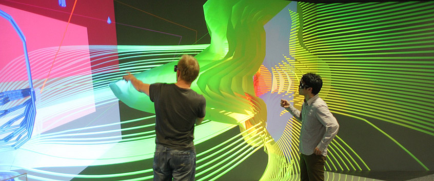
In the Department of Environmental Informatics (ENVINF), we develop models and software to simulate environmental processes in hydrological, geological, and energy-technical systems. The reliability of such process-oriented approaches depends on a physically accurate concept as well as on an accessible database and the parameterisation of the models. Therefore, the modelling is regarded as a complete workflow: from data collection and integration to process simulation and data analysis to scientific visualization. ENVINF bundles this workflow (in the OpenGeoSys initiative) in a quality-assured, open-source software package. This package consists of the process simulator, OpenGeoSys; the data integration and visualisation tool, OGS Data Explorer; and a link to the UFZ's visualization centre TESSIN VISLab.
Our goals are the development of innovative, numerical methods for the simulation of environmental processes, their flexible and efficient implementation in software products (computer science) as well as their use in diverse applications in environmental research. The modelling workflow serves as an instrument to answer scientific problems as well as a management tool for decision-makers and providers (see links below).
More information
- Water research: “Urban Catchments” – Development of a system to give early warning of disruption to the supply of drinking water in the city of Chaohu in the Chinese province of Anhui www.ufz.de/urbancatchments
- Energy research: ANGUS+ -- spatial organisation of the subsurface ANGUS webpage
- OpenGeoSys Initiative www.opengeosys.org
- Benchmark books and tutorials docs.opengeosys.org/books
