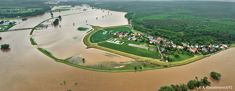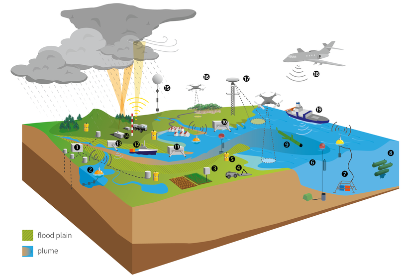
Hydrological events such as high precipitation and river floods occur throughout the whole year in Central Europe. Their impacts propagate through the river catchment, which requires an observation concept to cover scales of several square kilometers up to several 1000 square kilometers. These ranges will primarily be bridged by satellite data and airborne remote sensing to spot and track the spatial extent of hydrological events. A full campaign will last approximately 3 to 6 months. According to previous experience, single events have early warning periods ranging between 1 week (Elbe flooding 2013) and a few hours (convective storms 2016 and 2017). The large-scale weather patterns with above-average heavy precipitation are predictable in the medium term ranging from 1 to 2 weeks. Campaigns to capture hydrological events require particularly fast and sequential operations.

During the implementation phase from 2017 to 2021, first test campaigns will run under non-disturbed conditions to develop the operational procedures. The Elbe river system will be one model area because it has recently been affected by major floods in 2002, 2006 and 2013 and by extremely low flows in 2003. Members of the MOSES consortium have already run a flood model that makes it possible to quantify the runoff generation in the catchment, the propagation of the flood wave and the inundation. Additionally, socio-economic impacts can be calculated. Such models can help to optimize the observing systems during campaigns. High-resolution hydrographic, biochemical and biota data are available from TERENO and COSYNA sites within the Elbe catchment and at the estuary. A second focus area will be the Ammer catchment in the Bavarian Alps with its alpine and pre-alpine TERENO sites. Additionally, the extreme situation of low water levels will be investigated in close cooperation with the heat wave working group.

