Event Campaigns
Heat
wave campaigns can be performed from spring until late autumn in
Germany and European regions. The complex interactions between the land
surface, vegetation, aquatic systems and the atmosphere require
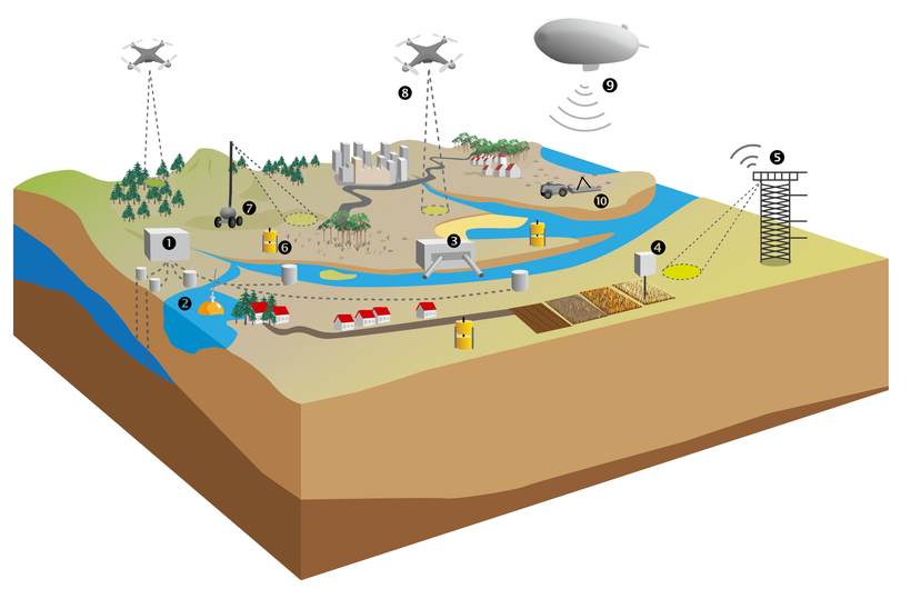
observation scales that range from several square kilometers up to
several 1000 square kilometers. Satellite data as well as airborne
remote sensing will be used to identify areas that are most affected and
to optimize the observing systems. Full campaigns will run for several
months to ensure observations during and after the heat wave event. This
way the impact of heat waves on ecosystems as well as the longer-term
disturbance introduced by an individual heat wave will be captured. Heat
waves develop in response to changes in Rossby wave dynamics and
build-up of atmospheric blocking situations. The entire development of
heat waves and dry periods takes several weeks, thus event-driven
observation campaigns have a lead time of approximately 4 weeks.
During the implementation phase from 2017 to 2021, first test campaigns will run under non-disturbed conditions to develop the operational procedures for heat waves and droughts. Focus areas for heat wave campaigns will be the well characterized TERENO sites of the Ammer catchment, Eifel and TERENO Northeast together with the research station DEMMIN. These sites provide the necessary base-line data, a full coverage of the research domain and the infrastructure to deploy mobile measurement systems at short notice.


