WP 4: Data and Model Integration
News (December 2022)
Within the framework of the GeomInt2 project, synthesis activities are to be intensified. In particular modern methods of digitization will be further developed and applied. These include scientific software development, virtualization and supercomputing - which will be applied specifically GeomInt studies in the sense of demonstrating the GeomInt platform are intended.
For current progress of the visualization studies, please follow our VISLAB website: Energy Systems & Geotechnics
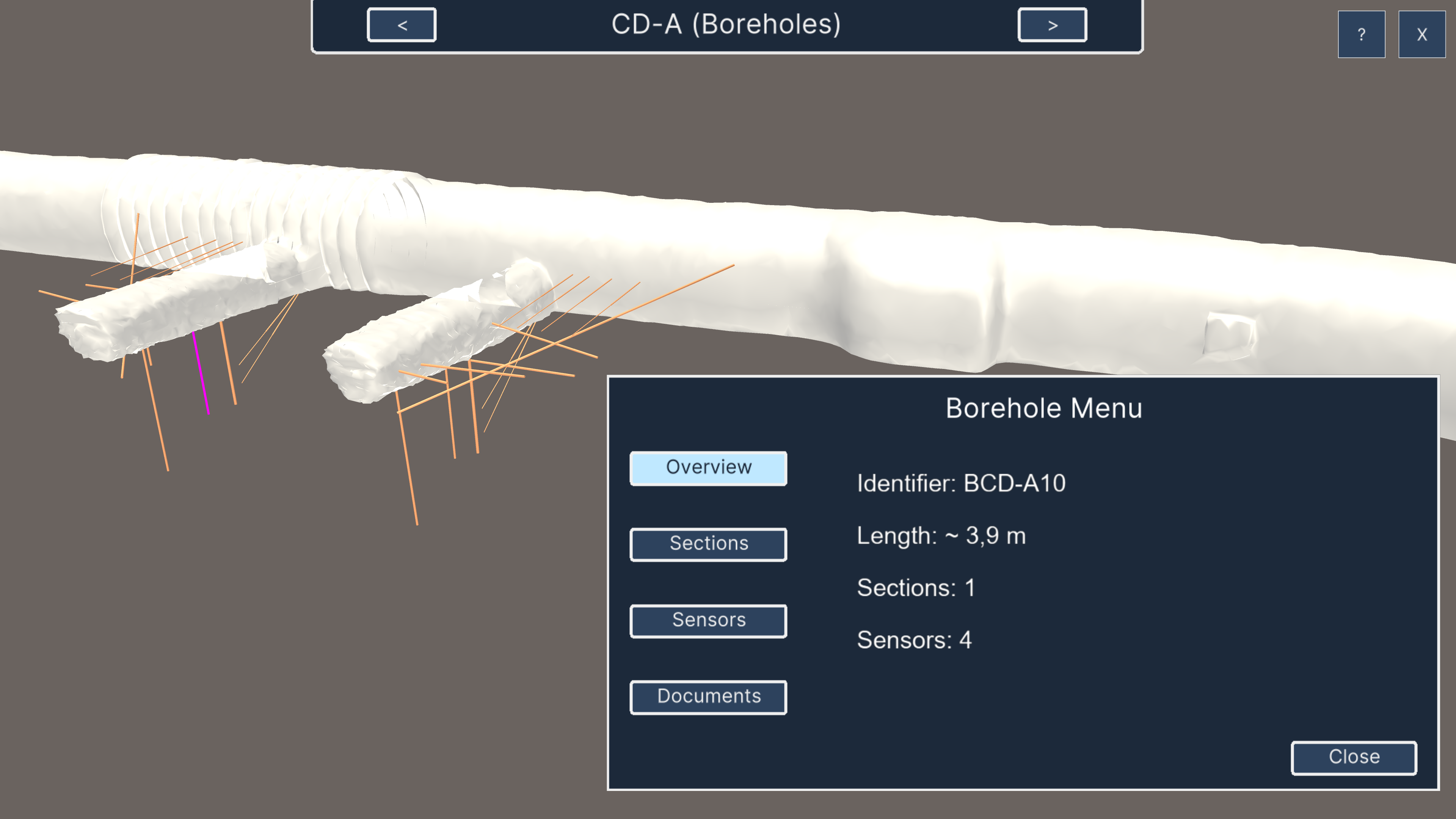
 Visualization (Unity#OGS DataExplorer framework) of borhole information (BIS by SIMULTEC) and sensor data (Geoscope by Sixense Soldata)
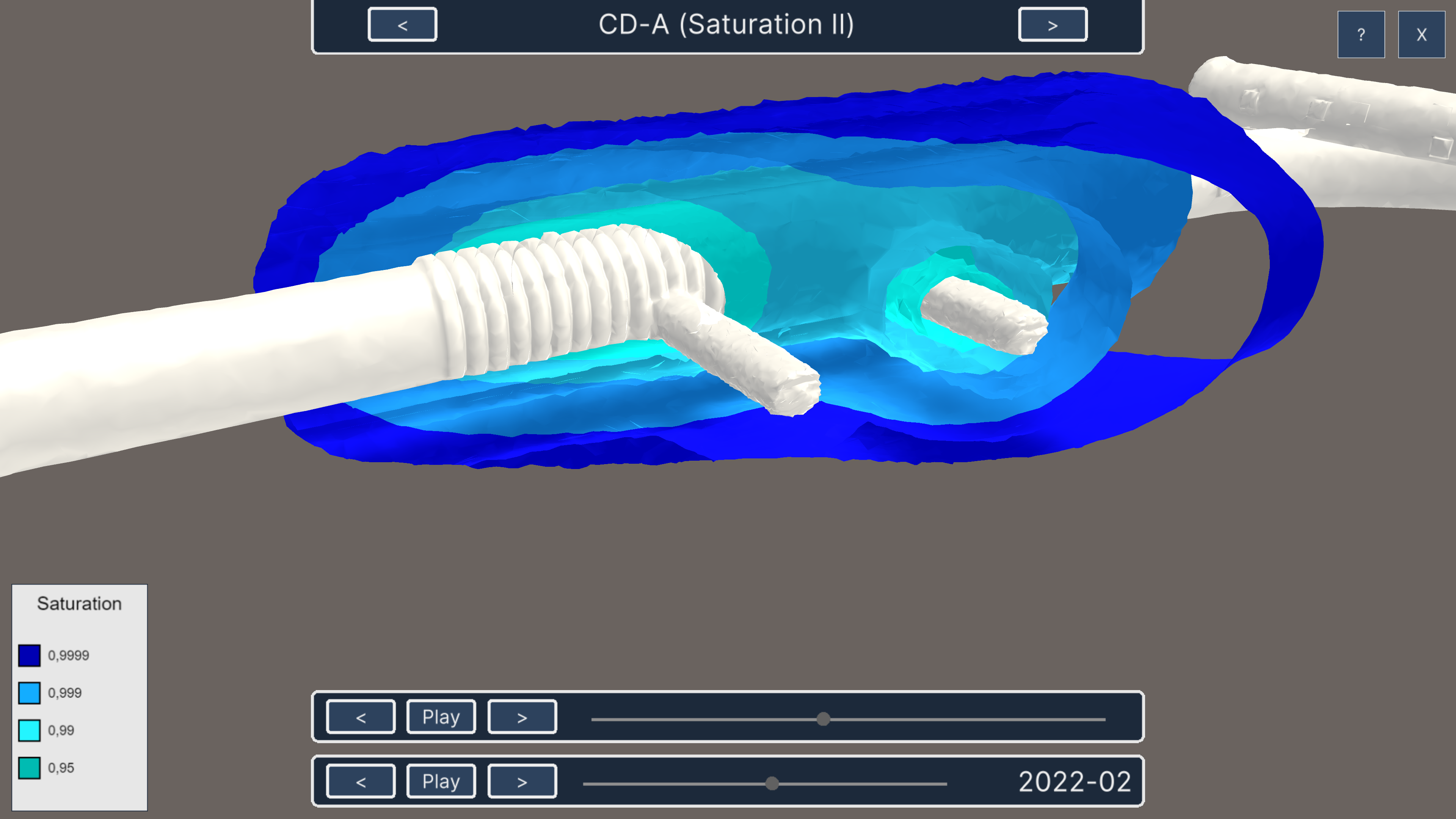
 Embedded numerical simulation (OGS6) of moisture distribution (by BGR)
[UFZ/BGR] The procedure will be illustrated by the example of the CD-A-experiment in the Mt. Terri underground laboratory. During the first phase of the project, the constitutive model was developed and implemented. In order to use the models as realistically as possible, they will be virtualized in the underground laboratory (see figure). The model has already been used for the planning the CD-A experiment to determine the optimal spacing of the niches (no significant interaction within 20 years). A further increase in process complexity (nonlinear mechanics in the HM context) requires the unconditional use of HPC methods to simulate a large number of variants. The model results are to be constantly compared with the ongoing experiments and also to be inserted into the existing virtualization context. This is the basic idea of continuous data and model integration.
Publications:
