Resilience & informative value of satellite remote sensing products for water quality monitoring.
The UFZ is mainly responsible for the very extensive WP 1 and is supported by the project staff at the ISF in Langenargen and at the HU in Hamburg. The results from this WP are continuously made available to WP 2, from where regular feedback is given to WP 1.
The tasks in WP 1 include:
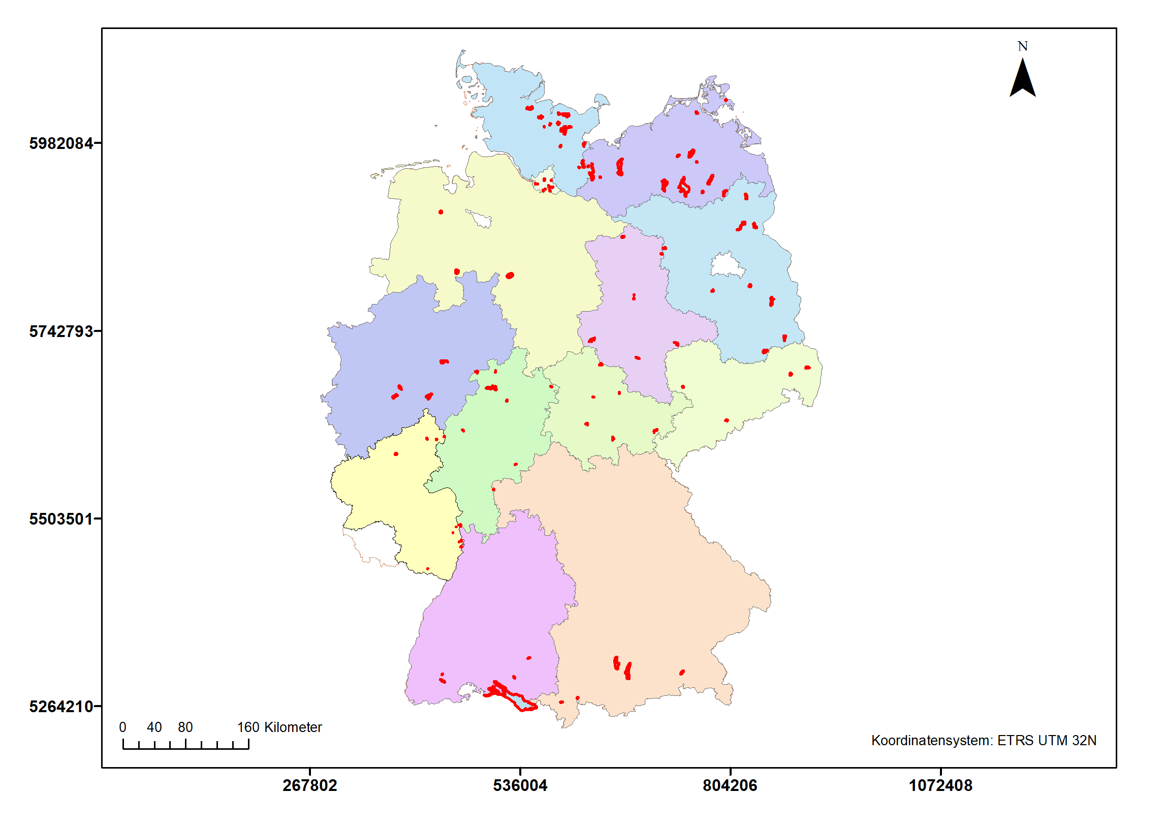
- Compilation of water quality data from approx. 100 lakes and dams as a basis for the validation of remote sensing products.
- Comparison of methods for processing remote sensing data for selected water quality variables and their optimisation on the basis of in-situ monitoring data.
- Evaluation of the applicability of the optimised remote sensing products for water quality monitoring and water management practice
- Development of recommendations for the methodology of satellite-based remote sensing and for harmonised implementation in official practice, as well as concepts for operationalisation.
Scientists: Susanne Schmidt (UFZ) and Tanja Schröder (UFZ)
Sources of remote sensing data used in the proejct
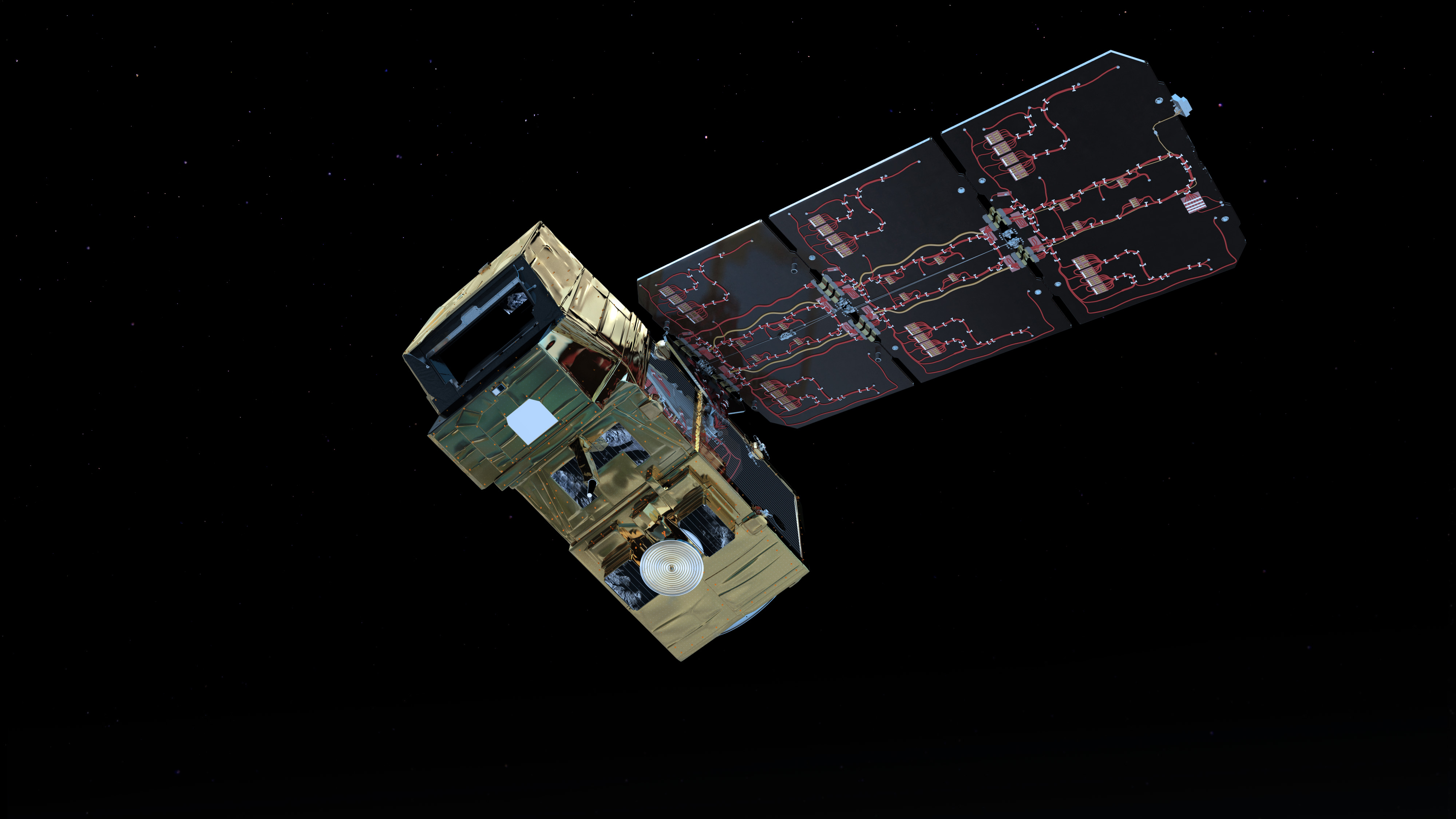
 © ESA/ATG medialab
 |
Sentinel 2Determination of Chlorophyll a, visibility, turbidity und HAB (Harmful Algal Blooms/Cyanobacterien) |
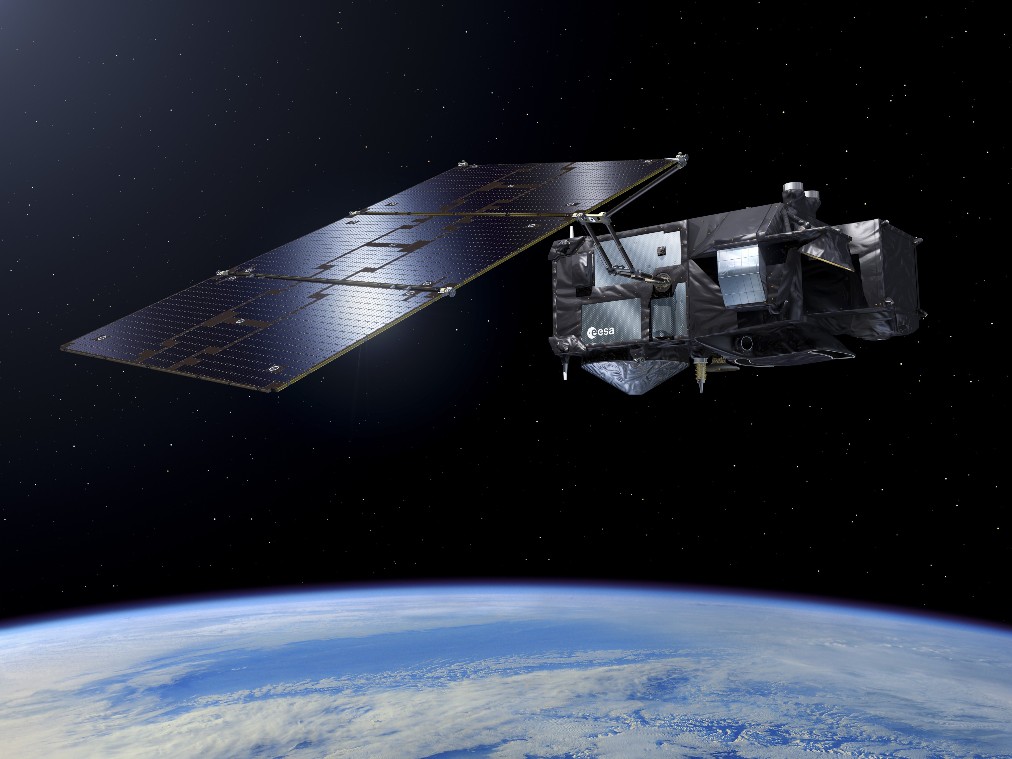
 © ESA Pierre Carril
 |
Sentinel 3Determination of Chlorophyll a, visibility, turbidity und HAB (Harmful Algal Blooms/Cyanobacterien) |
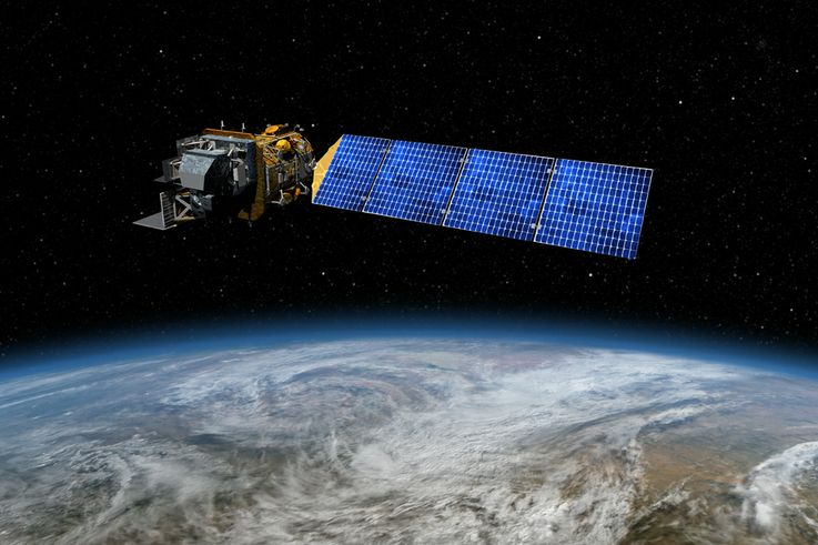
 © Artist concept of Landsat 8. Image Credit: NASA's Goddard Space Flight Center
|
Landsat 8Determination of temperature |
