Watercourse area extent and its dynamics
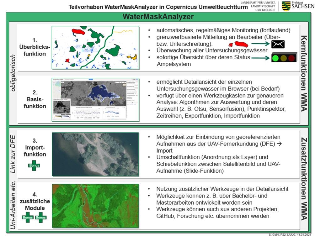
Work package 3 is implemented under the responsibility of the LfULG. LUBW also contributes to this work package in the field of remote sensing by drone. However, the main focus of the work package is on the development and provision of a satellite image-based technical procedure for the derivation and representation of the dynamics of watercourse masks. In this way, it will be possible to analyse individual water bodies in detail on a multi-temporal basis. In addition, future users will be provided with a tool that enables a quick and comprehensive view of all study waters. The smaller part of the work package, processed by the LUBW, is to determine fundamental questions of the application of UAV data in the context of water bodies and to test application cases. At this point, interfaces between products from drone remote sensing and the monitoring of water body area extent can be elicited and enlivened.
Important individual tasks on the way to achieving the goal are:
- Creation of a coordinated concept for professional development and technical implementation
- Algorithm development and validation as well as establishment and use of a data infrastructure
- Provision of a service for monitoring the extent of water bodies in a suitable technical form.
- In the field of drone remote sensing, determination of requirements and testing of application examples
Stefanie Weißbach (LfULG)

