Monitoring and Modelling
Peer-to-peer group for all interested in discussions on monitoring / modelling and related topics
Background
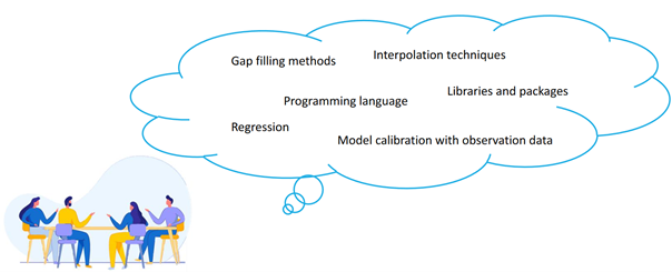
The group started out during the 1st TRACER synthesis workshop in November 2020. The group analysed the effects of different interpolation methods for input isotope data on the performance of the tran-SAS v1.0 model (Benettin & Bertuzzo, 2018) for the simulation of isotope signatures in the streamflow of a Swiss catchment. From there, the group continued with exchange on various methodological questions regarding challenges in environmental modeling. They meet every six weeks and discuss previously chosen topics.
Topics include calibration techniques, statistical analysis, data management tools, modelling tools/models, sensitivity analysis, etc.

Exemplary questions discussed in the group:
● Some models require hourly input, but observations are often available only at lower resolution. Interpolation is necessary: which method is best for which input resolution?
● How much do we lose when we re-interpolate data between timesteps?
● What kind of monitoring data do we need to test the tran-SAS model? How well does our model perform?
● Which methods are most suited for automated model calibration (e.g., DREAM Toolbox)
● To what extent are hydrological models, particularly groundwater models, analyzed by other researchers
Follow-up October 2022
The group is preparing a short report of their work as a guidance for following modelling activities based on monotoring data. The report is currently under review.
Abstract
Evaluation of Essential Variables in the Bode Catchment, Central Germany
Global warming has triggered a series of environmental changes, such as alterations in climate, land productivity, water resources and ecological systems. To find solutions to reduce the impact of global change, combination of long-term monitoring programs with advanced modelling techniques provides opportunities to gain a detailed understanding of the environment. This results essential for developing strategies against global change challenges. However, it has become critical to characterize and track environmental changes through a series of measurements needed to support policy evidence. One example of such measurements are the Essential Variables (EVs), important for observing and monitoring of a given facet of the Earth system (i.e., oceanography, climatology, biodiversity and geodiversity). A set of EVs defines a minimum number or least range of factors that are needed to describe the main drivers or promoters of any environmental system (e.g., nutrient monitoring in lakes to understand/estimate algae bloom /or another example). As a consequence, knowing EVs is gaining importance among scientists and management structures. This is crucial because it saves resources to be able to interpret a system without having to monitor or observe numerous parameters.
Taking this into consideration, the aim of this work is evaluating EVs for the intensively studied Bode region within the lowlands of the Harz mountains in central Germany. The scope is to set up a comprehensive assessment based on the available existing data (e.g., TERENO (Wollschläger, et al., 2017); MOSES (Weber et al., 2022)).
As inputs for diverse hydrological models, long time series of data are needed to naturally mirror the catchment behaviour and interactions of water compartments. Nonetheless, the state in the art of hydrological science does not take into account the interplay of different water bodies (e.g., streams, lakes and groundwater) in a catchment. Therefore, this study focuses on the Bode region because it is an area where data availability is high. This allows various types of monitoring approaches to be dealt with. Moreover, this study site has the potential to cover not only a single compartment of the hydrological system. Indeed, it offers a solution that considers different water bodies for an adequate modelling of groundwater and catchment-scale processes.
By taking into consideration the most common EVs proposed in the literature (Zacharias et al., 2021), we aim at setting up a guide to inform about the monitoring system available at the study area, made to link the current monitored site to its representation via models. Nevertheless, further work is required to better understand how to generate EVs using modelled and in-situ data. Thus, such investigation can be a new framework on developing comprehensive monitoring and modelling program.
To conclude, the proposed assessment represents a relevant opportunity to understand and enhance environmental monitoring systems. This may facilitate the availability of key information in a coherent way to boost evidence-based policy-making, as well as to ensure the usability of data across multiple platform and agencies.
