Running Projects

CityCLIM - Next Generation City Climate Services Using Advanced Weather Models and Emerging Data Sources
NFDI4Objects - Research Data Infrastructure for the Material Remains of Human History
GEWS
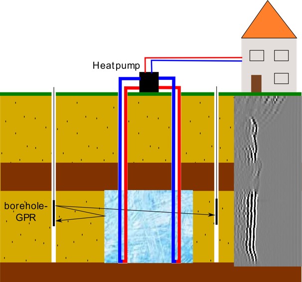
Development and construction of a deep-horizontal geological ice heat storage system (GEWS) as a demonstration plant at the TestUM/Wittstock test field.
Project: technical realisation and operation, numerical modelling,assessment of hydrogeochemical and microbiological impact
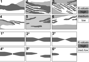
K-Connect - Connectivity in shallow, unconsolidated porous aquifers
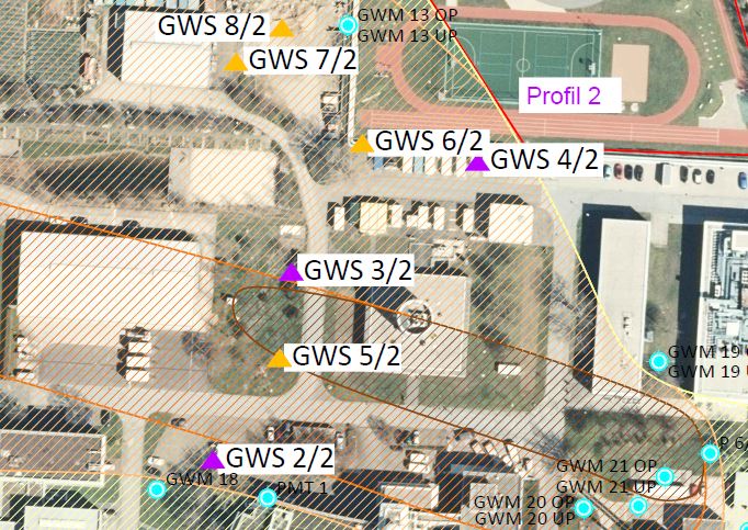
KONATES - Design and pilot plant testing for the use of contaminated aquifers for heat management with ATES plants
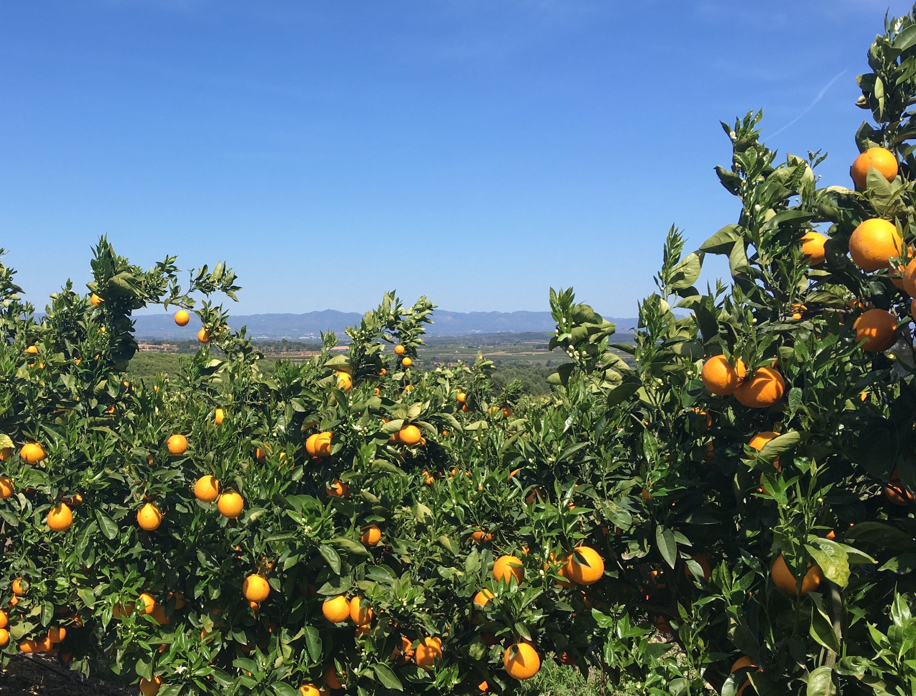
HANDYWATER - Handy tools for sustainable irrigation management in Mediterranean crops
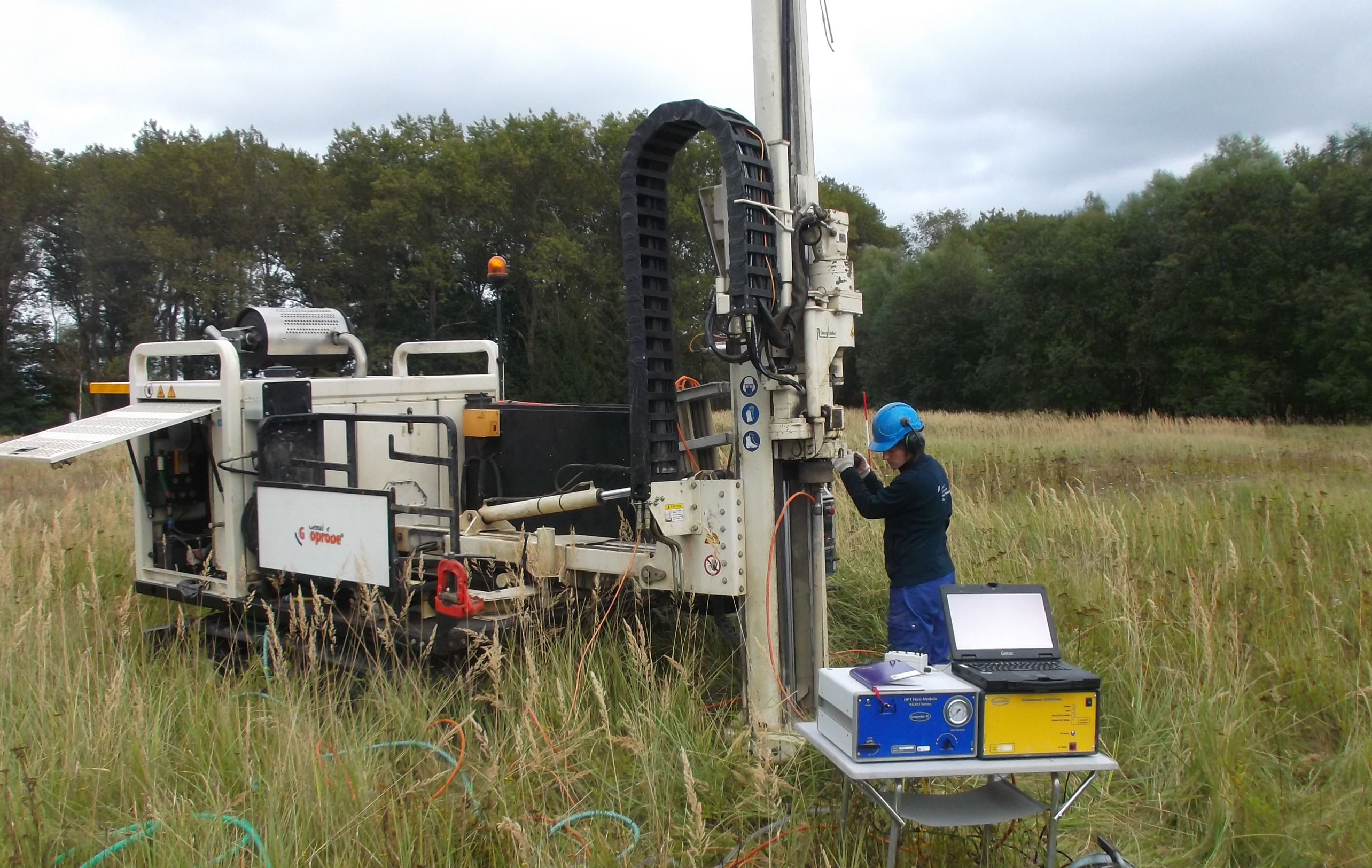
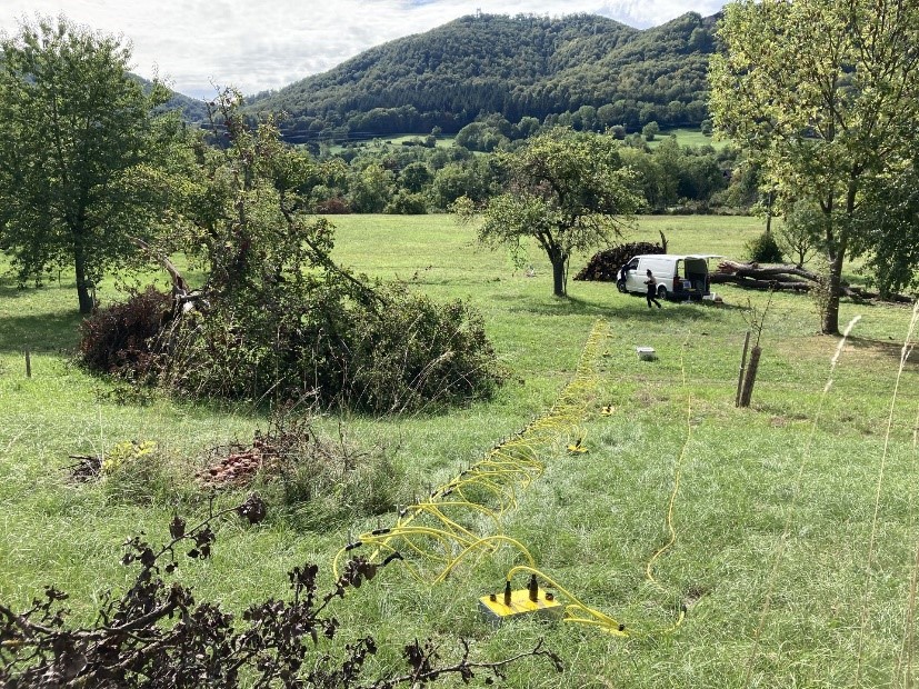
TestUM Aquifer II- Geophysical and hydrogeological test field for the investigation and monitoring of reactive multiphase transport processes in shallow aquifers induced by the use of the subsurface - follow-up project to TestUM Aquifer I
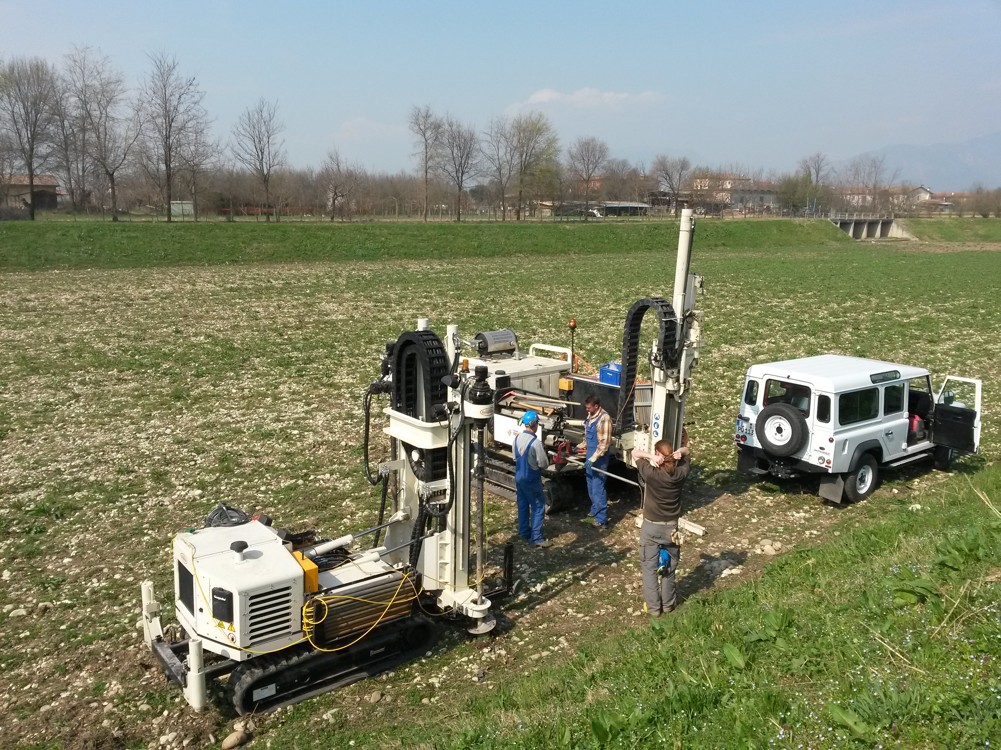
MARSoluT - Managed Aquifer Recharge Solutions Training Network
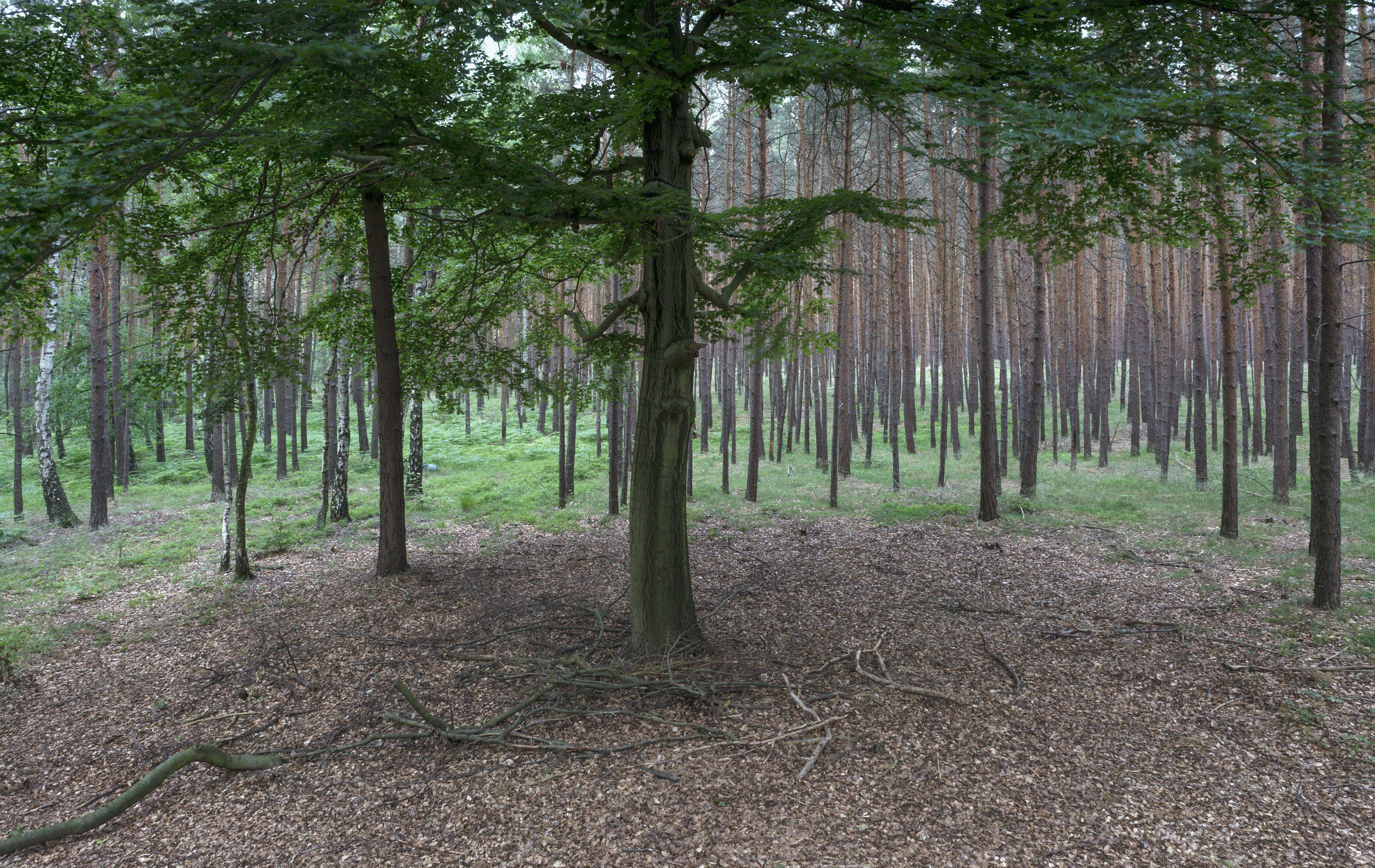
DIGI Humus - Detection and regionalization of humus properties using VIS-NIR spectroscopy and digital
soil mapping
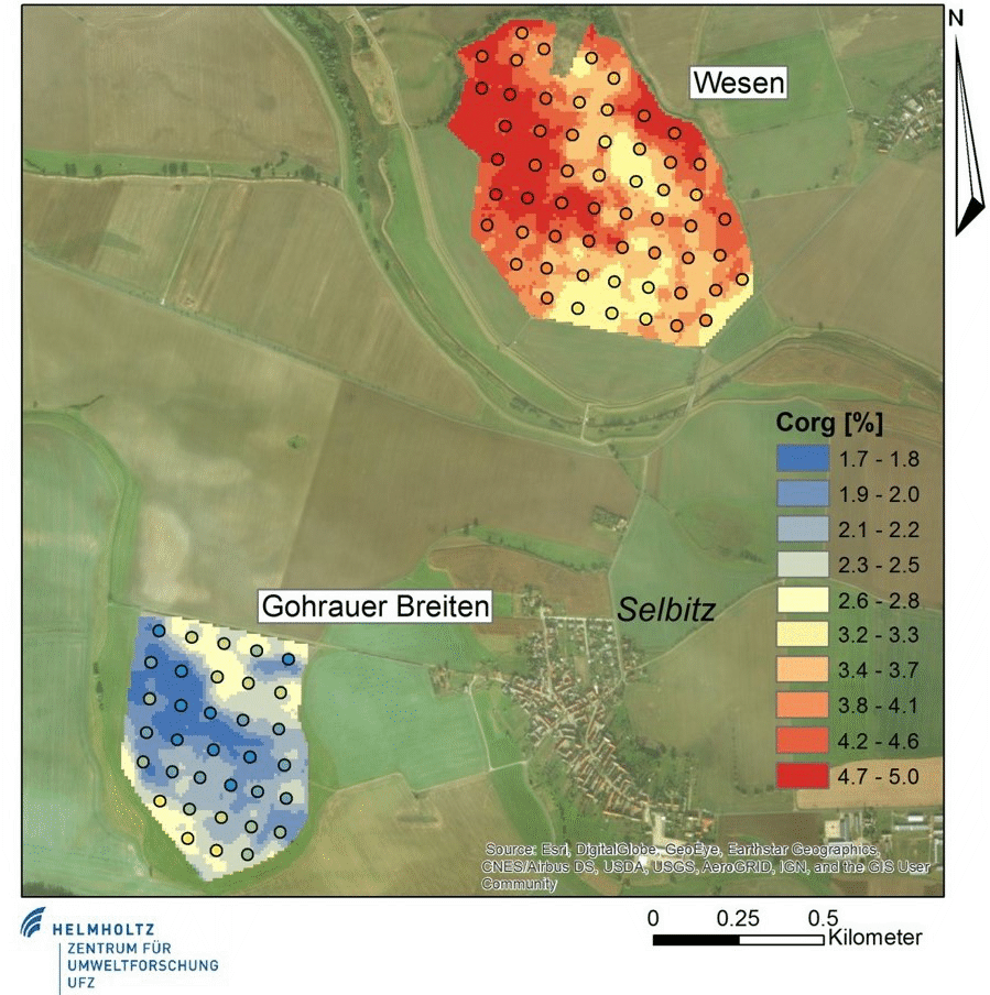
MeSsHumus - Method and sensors development for in-situ determination of humus content in soils and derivation of recommendations for management
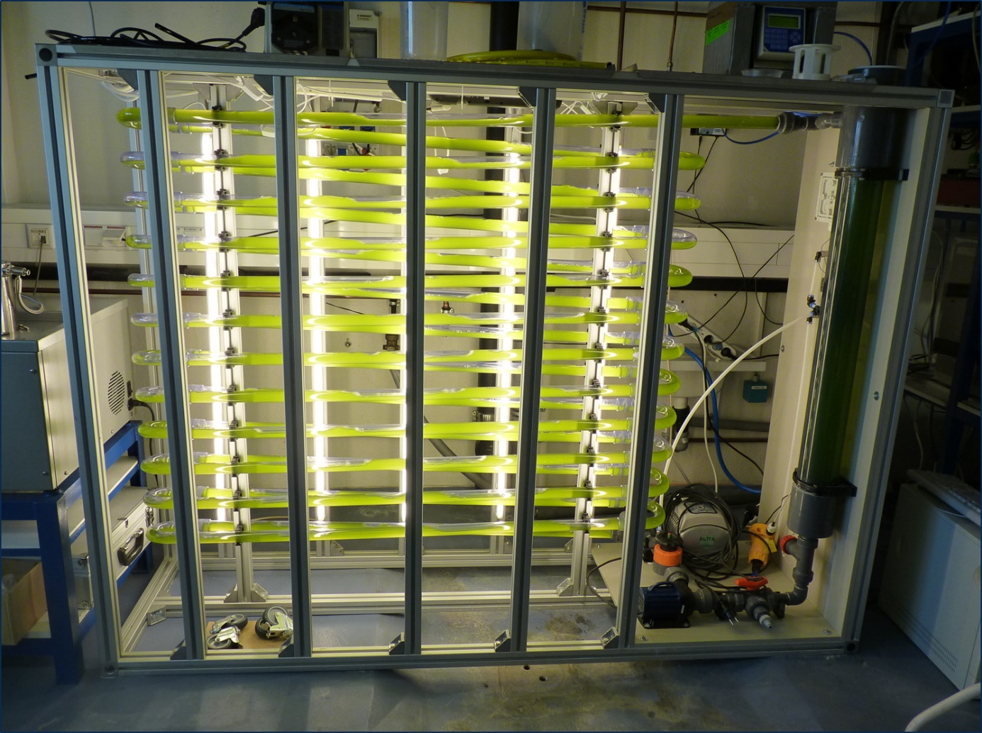
MOProALGE - Fast monitoring system to allow the recovery of compounds produced by microalgae to be optimised through more efficient process management

DigitalEarth - Towards SMART Monitoring and Integrated Data Exploration of the Earth System - Implementing the Data Science Paradigm
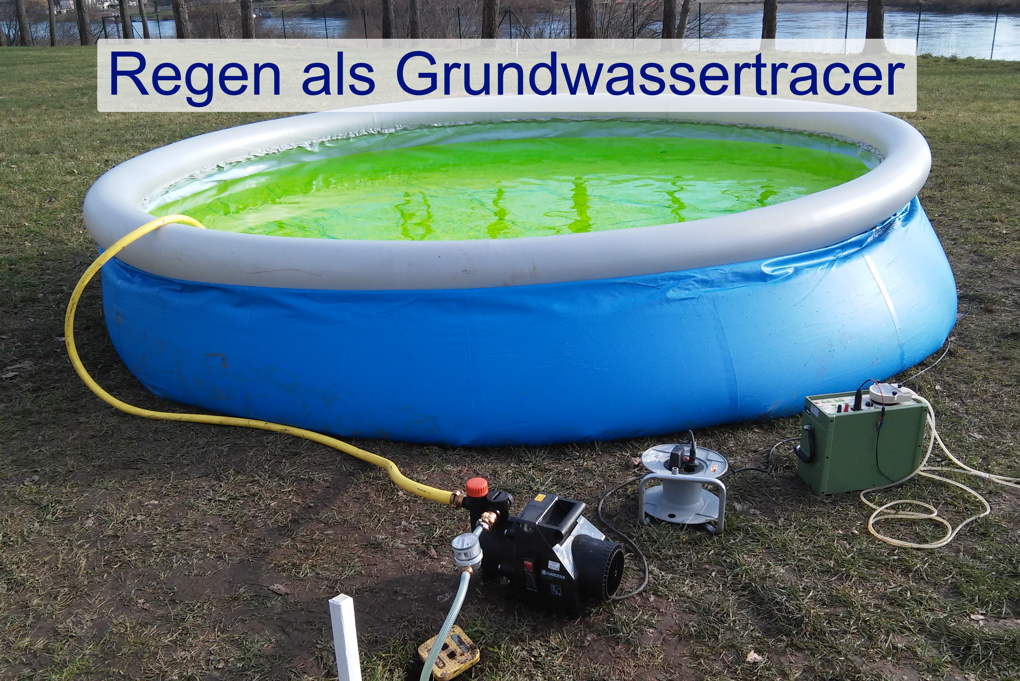
RegenTracer - Rain as Groundwater Tracer

TestUM Aquifer - Geophysical and hydrogeological test site for exploration and monitoring of induced reactive multiphase transport processes in near-surface aquifer structures d/t utilization of the subsurface
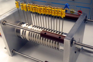
TOXI-triage - Integrated and adaptive responses to toxic emergencies for rapid triage: engeneering the roadmap from casuality to patient to survivor
.png)
IGLU – Analysis, modeling, and evaluation of intelligent geothermal long term heat storage with minimized environmental impacts
SIMULTAN - Sinkhole instability: integrated multi-scale monitoring and analysis
CPTTOMO - Development and Validation of a CPT-based seismic tomography system and evalidation method for the stability assessment of old mining locations
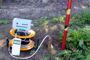
ANGUS+ Impacts of the use of the geological subsurface for energy storage in the form of gas and heat in the context of a transition to renewable energy sources – dimensioning, risk analysis and prediction of impacts as a basis for future subsurface spatial planning
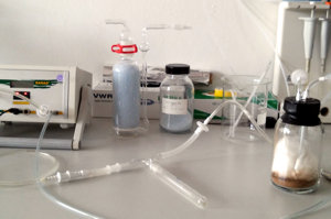
RATIEF - Development of a measuring apparatus and a modular probe system to measure depth oriented soil gas concentration and fluxes by taking into account the relevant influencing parameters
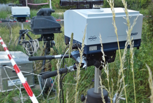
SQuAd- Spatially resolved quantification of the advection influence on the balance closure of greenhouse gases
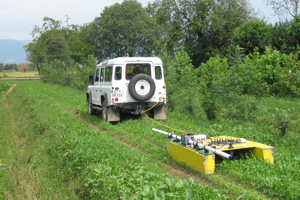
MARSOL - Demonstrating Managed Aquifer Recharge as a Solution to Water Scarcity and Drought
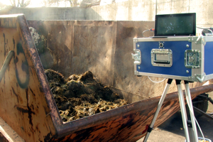
Odour radar - Validierung of a measuring system to localise and quantify diffuse sources of odours
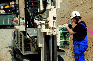
KOPOXI - Development of a ground water remediation technology for the enhancement of natural attenuation processes within a contamination plume by combining a permanent release of oxidizing agent with localized oxidizing agent injections
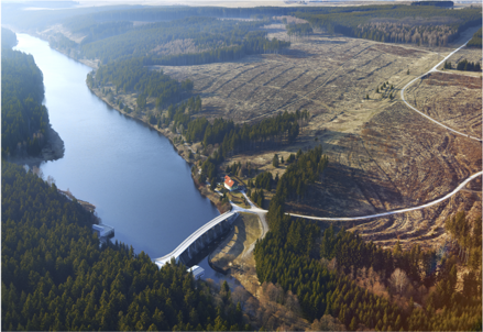
CAOS From Catchments as Organised Systems to Models based on Dynamic Functional Units
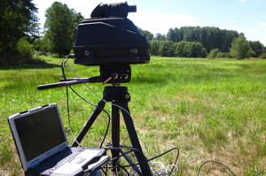
MONACO - Monitoring approach for geological CO2 storage sites using a hierarchic observation concept
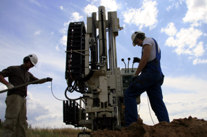
MuSaWa - Multi-scale S-wave tomography for exploration and risk assessment of development sites
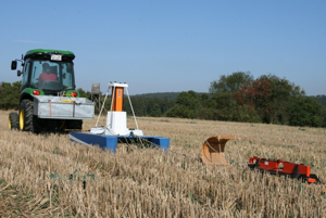
iSOIL- Interactions between soil related sciences – Linking geophysics, soil science and digital soil mapping
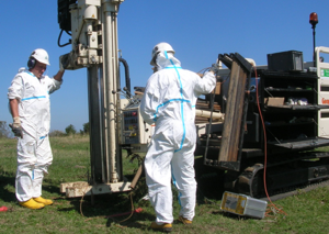
ModelProbe - EU-Projekt "Model driven soil probing, site assessment and evaluation"

CoTra - Compartment Transfer Revitalisierung of large scale and complex contaminated sites - Constructed wetlands
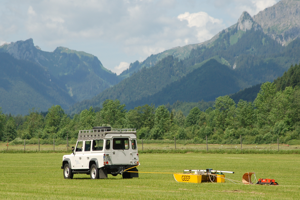
Großhang - Coupling of Flow and Deformation Processes for Modelling the Movement of Natural Slopes
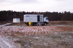
CO2-Injection test - Development and assessment of the reliable, efficient and cost-effective monitoring concepts in order to detect and characterize possible near-surface CO2- leakages
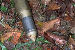
MOST - Development and Evaluation of new analysis and interpretation approaches for 2D/3D georadar data.
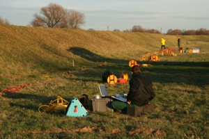
COMEXTECH - A combined exploration technique for the delineation of subsurface structures and the assessment of rock parameters
EGS- Radon - Risk Minimization in the Exploration
DP-Radar - Development and Evaluation of new analysis and interpretation approaches for 2D/3D georadar data.

