Data Acquisition
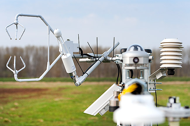
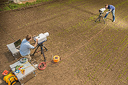
With UFZ owned sensors investigation sites can be specifically or continously monitored in space and time. This may account for important phenological stages, soil-moisture conditions, or hydrological phases. In parallel or if needed with a time delay, it is possible to monitor further e.g. atmospheric or biologial states, surface reflectance or radiance measurements, or even soil and subsurface related variables ensuring a calibration and vaidation basis that is required to derive reliable remote sensing products.
Calibration and Validation

The UFZ investigates and developes a multiplicity of methods to calibrate and validate (ground truth) remotely sensed data enabling a high degree of accuracy of the so derived products. These methods include surface-near geophysic, wireless sensor-networks, and atmospheric monitoring procedures through the application of infrared-spectroscopy or optimal sensor sampling- and positioing concepts.
Sensors and Platforms

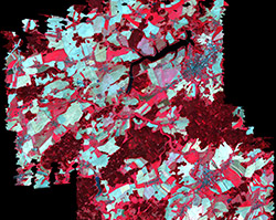
To optimally investigate diverse application fields, a broad spectrum of senor technology is neccessary. Besides satellite-, air-, and groundborne systems it includes topic-specific sensor and sensor-systems to pursue invstigations on soil-, vegetation-, water- , and atmospheric properties, to determine landscape metrics and urban patterns.
Methods

Due to physical properties of electromagnetic waves the registered signal of remote sensing raw data is influenced by diverse procceses (e.g. air- and soil moisture, radiantion and reflection conditions, different emmisivities etc.). To counteract and provide comparable data basis, next to radiometric, geometric and atmospheric correction procedures the UFZ foccuses and further develops most of all on radiation transfer modelling with various approaches. Additionally, relevant parameter are analysed through the help of obtained and pre-processed remote sensing data plus ground truth data exploiting data mining approaches.
