TERENO - Terrestrial Environmental Observatories
Reflectivity and Rainfall (Z-R) Relationship for Hydrology

Precipitation measurement by RADAR devices are a great addition to classical rain gauges. Their advantage is, that they provide information about the spatial extent of rainfall fields. Their merits are, that the measurement error is higher than for rain gauges.
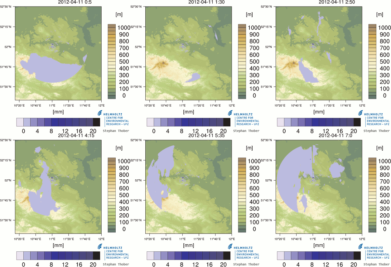
We are operating a X-band rainradar in the TERENO Bode catchment. The radar has a resolution of 2° azimuth and 100m ranges in distance up to 50km and the temporal resolution is 5min. Before transform raw reflectivity data to rainfall, it has to be corrected for non rainfall targets (e.g. ground reflectivity / clutter) and attenuation. The standard approach to transform reflectivity to rainfall (Z-R) is a power law transformation (Marshall, 1947). This transformation is very sensitive to its parameters and in the past years, different transformations partly based on statistical dependencies (Copulas, Vogl 2012) have been introduced.
In our working group, we want to understand whether taking an hydrological model into account while parametrizing different Z-R relationships provides an added value.
For further information, contact: Stephan Thober
Data Assimilation and Model Calibration for Regional Soil Moisture
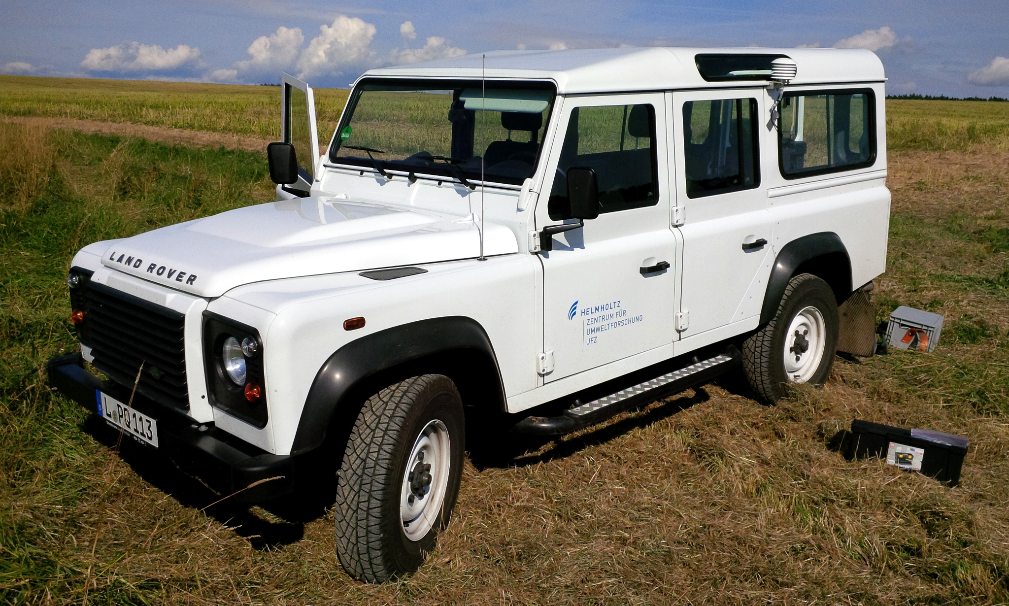
 Cosmic-Ray Neutron Sensing with the TERENO:Rover
Measuring soil moisture with Cosmic Ray Sensors (CRS) is an emerging field of research, because the mesoscale footprint (~0.3 km²) is of great interest for land surface models that usually come with resolutions in between point measurements (e.g. TDR) and remote-sensing data.
Since the transformation from the integrated neutron signal to soil water content depends on an unknown number of hydrogen sources, a reliable calibration is required. We make use of soil texture fields simulated with the mesoscale Hydrologic Model (mHM) at a the small catchment site "Schäfertal" in the lower Harz Mountains, central Germany. Our goal is to improve soil moisture predicitions of mHM with the help of assimilated CRS data, and find regionalised parameters for the conversion from neutron counts to soil moisture.
The novel key of this approach is the synergy of mesoscale soil moisture measurements and the parametrisation of the hydrologic model. Once the measurement of independent CRS is validated by the model calibration, our strategy can be used for calibrating CRS signals wherever land surface models of mHM are present. This clears the way for the upcoming mobile Cosmic Ray Sensors on a rover, where field calibration is obviously not possible.
For further information please contact Martin Schrön
